Line © OpenStreetMap contributors (ODbL), checked by Global Adventurer.
The walk
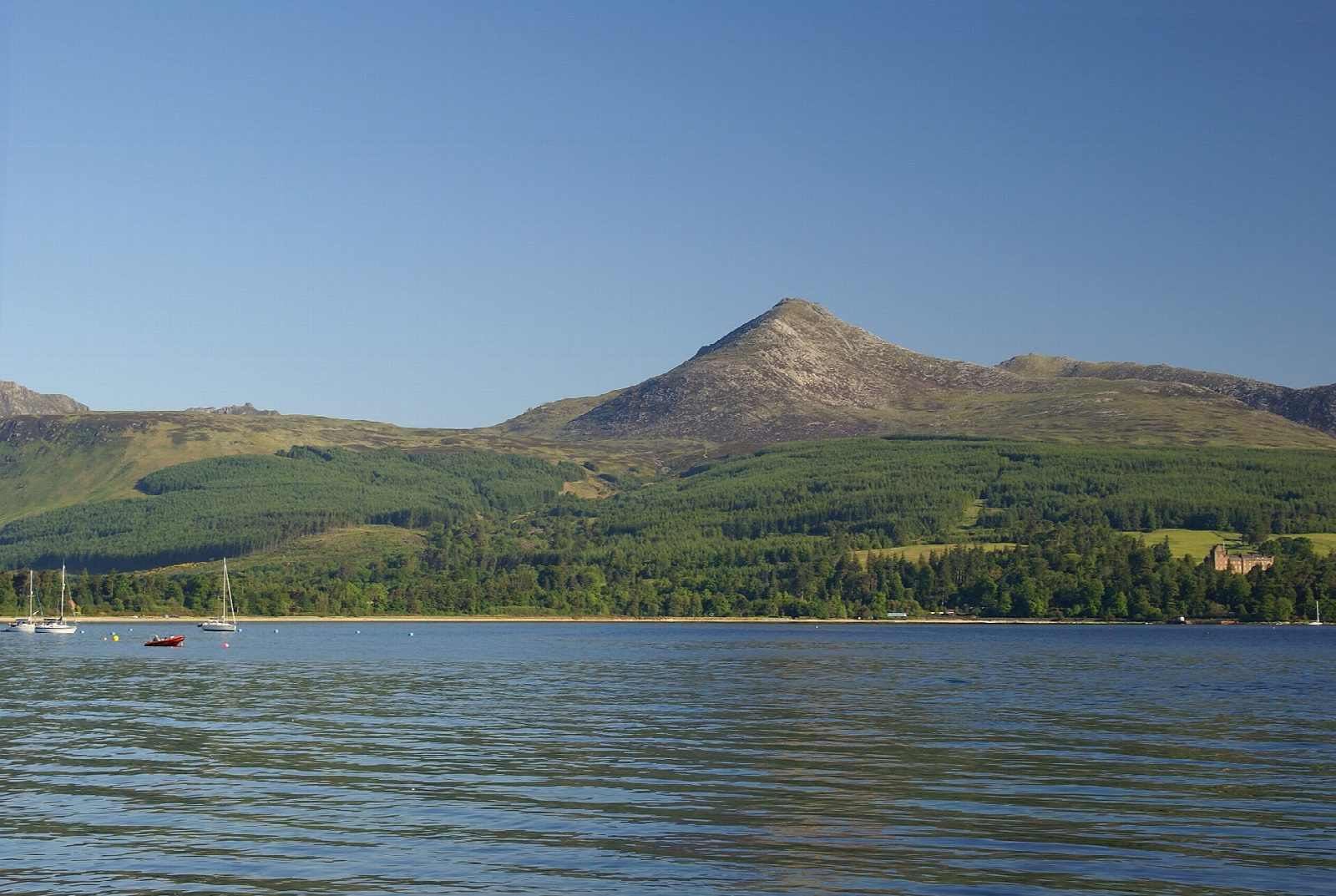
From Cladach, opposite the Wineport, walk up the track past the Arran Brewery and take the main Goatfell path into the woods. It crosses a tarmac road and climbs through the trees, then birch, and out onto heather moor beside the Cnocan Burn, with views back over Brodick Bay to Holy Isle. It joins the path from the castle, crosses the Mill Burn and goes through a deer fence, then climbs to the east shoulder above Meall Breac. Turn left for the final ascent, steep and rough, between and over granite boulders to the summit (874 m). Return the same way.
It is 11.0 km with 864 m of ascent; allow about 6 hours. The grade is Hard: a long, steady climb with a steep, bouldery finish.
Goatfell is cared for by the National Trust for Scotland. North of the summit the ridge needs scrambling and is not part of this walk. The top is exposed and the boulders are slippery in the wet: carry a map and compass. On a clear day the view reaches Jura, Ben Lomond and Ireland. Heading for the Scottish Hills lists no stalking issues on Goatfell.
Park at Cladach, beside the A841 2 km north of Brodick, where buses stop. The ferry from Ardrossan lands in Brodick.
Route drawn by Global Adventurer along OpenStreetMap paths (© OpenStreetMap contributors, ODbL), with figures worked out from it. Check the forecast and the ground on the day: paths change.
Good to know
- Arran's highest hill (874 m), cared for by the National Trust for Scotland
- The main path climbs through woods above Cladach and over open moor to the east shoulder
- The final climb weaves steeply through granite boulders
- On a clear day the view reaches Jura, Ben Lomond and Ireland
Summits on the way
- Goatfell [Goat Fell] 875 m
Getting there
Start: Cladach car park, opposite the Wineport. 55.59152, -5.15643
Places to stay nearby
Rooms in and around Cladach car park: Booking.com → Expedia →
Affiliate links: if you book, Global Adventurer earns a small commission at no cost to you.
Paths change, and the weather decides the day. The line and figures come from OpenStreetMap and our own checks; take a map, check the forecast, and turn back if it isn't right.
