Line © OpenStreetMap contributors (ODbL), checked by Global Adventurer.
The walk
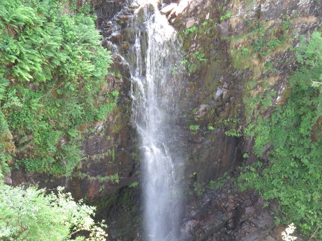
From the parking by Ashdale Bridge, at the south end of Whiting Bay, follow the signed path that starts just south of the bridge, keeping straight on at the signpost. The path climbs through woodland beside the burn, crossing a side stream on a footbridge, to a viewing platform that juts out opposite the falls. A second viewpoint higher up looks at the upper fall. Take the path signed for the Giants' Graves up to a forest track and follow it left round the hillside, then turn up to the two chambered cairns, with a fine view over Whiting Bay to Holy Isle. A steep path descends back to the start.
It is 5.2 km with 132 m of ascent; allow about 1½ hours. The grade is Easy: woodland paths and tracks with a fair amount of up and down.
The falls, Eas a' Chrannaig, drop about 45 m in two leaps. The descent from the Giants' Graves is steep in places. Keep children close at the viewing platform.
There are parking areas on both sides of Ashdale Bridge, beside the A841. Buses run to Whiting Bay, and the ferry from Ardrossan lands at Brodick.
Route drawn by Global Adventurer along OpenStreetMap paths (© OpenStreetMap contributors, ODbL), with figures worked out from it. Check the forecast and the ground on the day: paths change.
Good to know
- Glenashdale Falls, Eas a' Chrannaig, drop about 45 m in two leaps
- A viewing platform juts out over the gorge opposite the falls
- The Giants' Graves are two chambered burial cairns looking over Whiting Bay to Holy Isle
Getting there
Start: Car park by Ashdale Bridge, Whiting Bay. 55.48198, -5.09222
Places to stay nearby
Rooms in and around Car park by Ashdale Bridge: Booking.com → Expedia →
Affiliate links: if you book, Global Adventurer earns a small commission at no cost to you.
Paths change, and the weather decides the day. The line and figures come from OpenStreetMap and our own checks; take a map, check the forecast, and turn back if it isn't right.