Line © OpenStreetMap contributors (ODbL), checked by Global Adventurer.
The walk
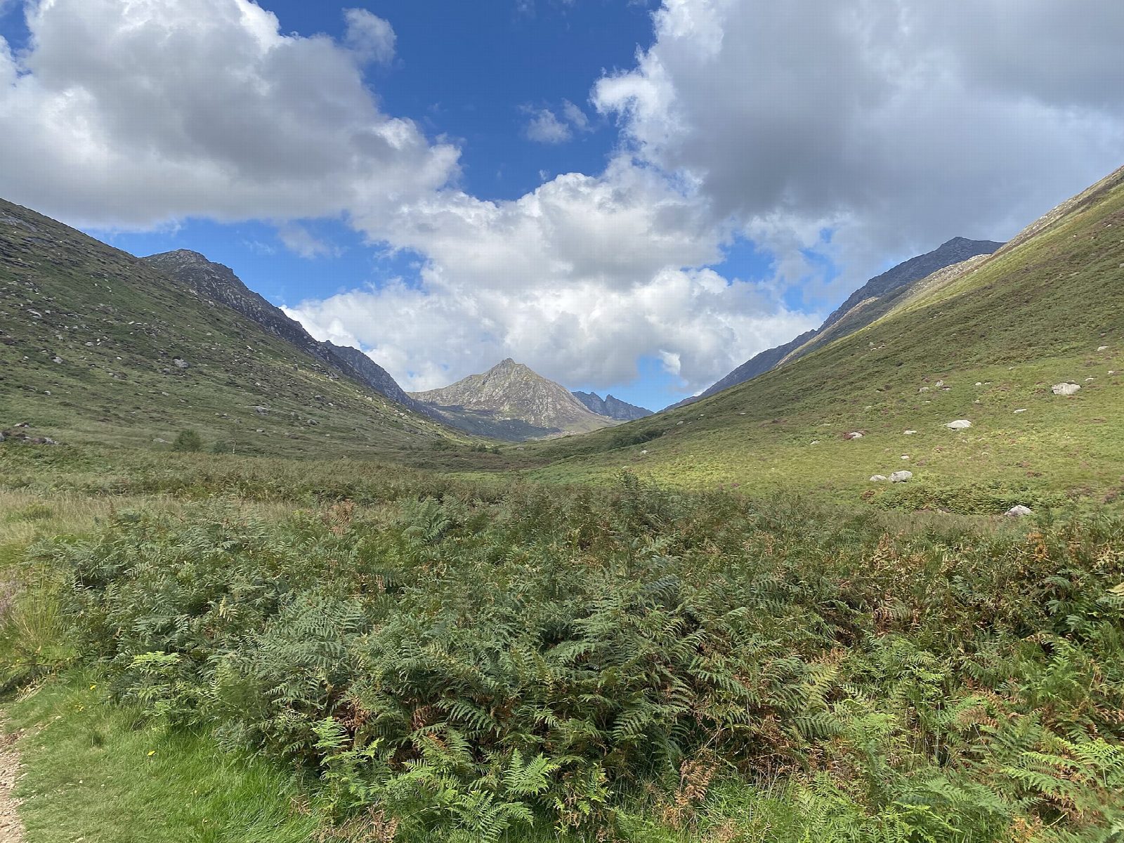
From Cladach, opposite the Wineport, take the track behind the Wineport into the woods. Paths cross two footbridges and climb to a tarmac lane; follow it, then forest tracks and paths along the edge of the trees, to a gate into Glen Rosa. A well-made path leads up the open glen to a footbridge over the Glenrosa Water, with a deep pool below. A short way upstream is the Blue Pool, small and deep below a waterfall, with the cone of Cìr Mhòr behind. Return down the glen on the path over the Garbh Allt footbridge, which becomes a track past the campsite, and back towards Cladach.
It is 9.4 km with 130 m of ascent; allow about 2¾ hours. The grade is Easy: good paths and tracks with little climbing, boggy in places.
Walkhighlands notes boggy patches near the edge of the forest. The deep pool under the bridge has become popular for wild swimming, but the water is cold and deep. Glen Rosa is a landscape shaped by glaciers and is cared for by the National Trust for Scotland.
Park at Cladach, beside the A841 2 km north of Brodick, where buses stop. The ferry from Ardrossan lands in Brodick.
Route drawn by Global Adventurer along OpenStreetMap paths (© OpenStreetMap contributors, ODbL), with figures worked out from it. Check the forecast and the ground on the day: paths change.
Good to know
- Glen Rosa is a glen shaped by glaciers, running into the heart of Arran's granite hills
- The Blue Pool is a small, deep pool below a waterfall, with Cìr Mhòr behind
- The way back follows the Glenrosa Water past the campsite
Getting there
Start: Cladach car park, opposite the Wineport. 55.59152, -5.15643
Places to stay nearby
Rooms in and around Cladach car park: Booking.com → Expedia →
Affiliate links: if you book, Global Adventurer earns a small commission at no cost to you.
Paths change, and the weather decides the day. The line and figures come from OpenStreetMap and our own checks; take a map, check the forecast, and turn back if it isn't right.