Line © OpenStreetMap contributors (ODbL), checked by Global Adventurer.
The walk
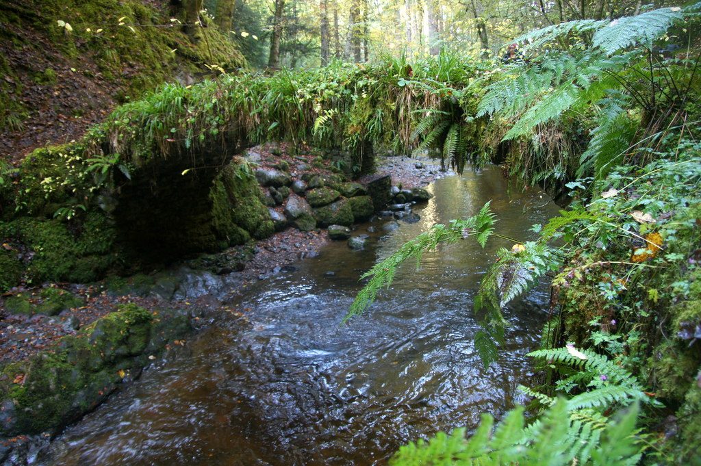
From the Reelig Glen car park, the Tall Trees trail follows a wide path up beside the Moniack Burn. At the top of the glen a wooden bridge crosses the burn beside an old stone bridge and grotto. The trail comes back down the other side, past a stand of huge Douglas firs and over a footbridge high above a side stream, to the road bridge by the car park. The second loop, the Upper Reelig trail, climbs steeply from behind the car park into beech, pine and fir woods above the glen, out towards the road at Lyne, and back along the hillside above the glen.
It is 3.3 km with 150 m of ascent; allow about 1¼ hours. The grade is Easy: short, with one steep climb on the upper trail.
One of the firs, Dughall Mòr, was measured at 62 m in 2020. The stone bridge and grotto were built by the landowner James Baillie Fraser as famine relief work. Forestry and Land Scotland grades the upper trail strenuous, with long steep slopes, rocky steps and muddy patches, and Walkhighlands warns of a maze of paths there: follow the blue posts.
The car park is free. There is no public transport to the start. The nearest station is Beauly, about 4.7 km away.
Route drawn by Global Adventurer along OpenStreetMap paths (© OpenStreetMap contributors, ODbL), with figures worked out from it. Check the forecast and the ground on the day: paths change.
Good to know
- Douglas firs well over 100 years old, among the tallest trees in Britain
- One of them, Dughall Mòr, was measured at 62 m in 2020
- A stone bridge and grotto were built by James Baillie Fraser as famine relief work
- The Tall Trees trail and the Upper Reelig trail, both waymarked by Forestry and Land Scotland
Getting there
Start: Reelig Glen car park, Moniack · Free parking. 57.45545, -4.40396
Places to stay nearby
Rooms in and around Reelig Glen car park: Booking.com → Expedia →
Affiliate links: if you book, Global Adventurer earns a small commission at no cost to you.
Paths change, and the weather decides the day. The line and figures come from OpenStreetMap and our own checks; take a map, check the forecast, and turn back if it isn't right.
