Line © OpenStreetMap contributors (ODbL), checked by Global Adventurer.
The walk
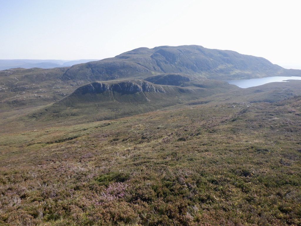
From the car park near the end of the Bunloit road above Drumnadrochit, walk on along the road, keep right of the bridge to the pottery and take the signed hill path beside a small stream. It crosses a track and climbs through birch and hazel woods beside a burn, then over a stile in the deer fence onto open moor. On the ridge the path turns left along it, rougher and boggy in places, past a rocky knoll and up a steep final slope to a cairn. The true summit of Meall Fuar-mhonaidh (698 m) is the cairn at the far end of the knobbly top beyond. Return the same way.
It is 9.2 km with 505 m of ascent; allow about 3¾ hours. The grade is Moderate: a clear path all the way, but rough and steep near the top.
Walkhighlands describes the upper path as eroded, rough and boggy. The ridge is exposed to the weather; in mist, take care to follow the ridge path back rather than the slopes either side. The top looks down Loch Ness and south-west along the Great Glen to Ben Nevis.
Park in the car park on the right just before the end of the Bunloit road; beyond it the only parking is for the pottery. There is no public transport to the start.
Route drawn by Global Adventurer along OpenStreetMap paths (© OpenStreetMap contributors, ODbL), with figures worked out from it. Check the forecast and the ground on the day: paths change.
Good to know
- The most prominent hill around Loch Ness, seen from much of the Great Glen
- A path through birch and hazel woods, then open moor along a broad ridge
- From the top, views down Loch Ness and south-west along the Great Glen to Ben Nevis
Summits on the way
- Meall Fuar-mhonaidh 698 m
Getting there
Start: Car park at the end of the Bunloit road · Free parking. 57.28001, -4.50482
Places to stay nearby
Rooms in and around Beauly: Booking.com → Expedia →
Affiliate links: if you book, Global Adventurer earns a small commission at no cost to you.
Paths change, and the weather decides the day. The line and figures come from OpenStreetMap and our own checks; take a map, check the forecast, and turn back if it isn't right.
