Line © OpenStreetMap contributors (ODbL), checked by Global Adventurer.
The walk
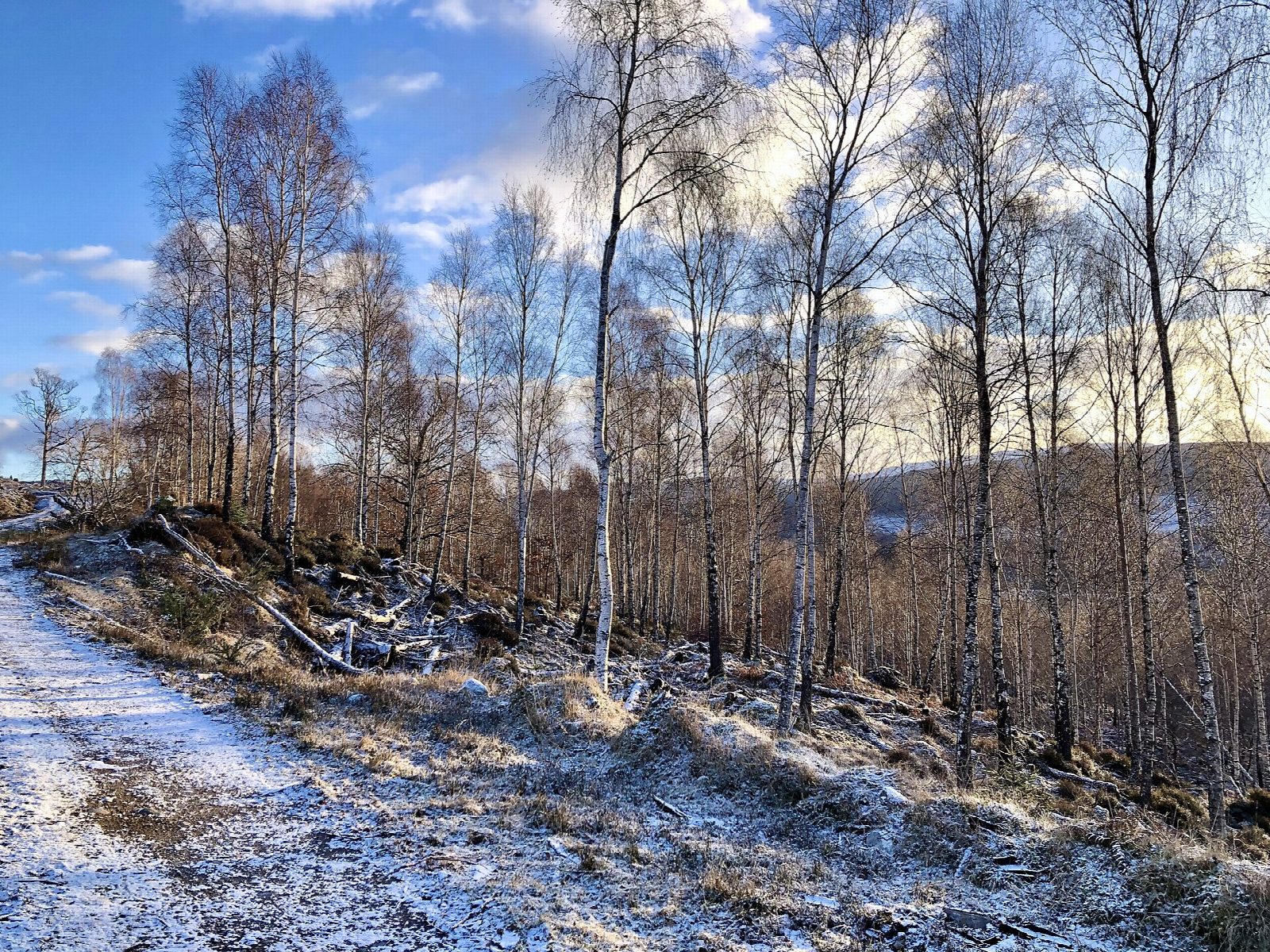
From the car park at Jenkins Park, walk along the Auchteraw road past the play park and keep straight on at the fork where a sign points to Glenmoriston along the Old Military Road. A track leads into the forest, and the military road, now a path, turns off right and climbs in wide zigzags through birch and pine. Higher up it meets a forest track that runs west across the hillside, with glimpses down over Fort Augustus and the canal and south-west along the Great Glen to the Loch Lochy hills. The track descends and swings back east under the power lines, and lower tracks lead back to the start.
It is 7.8 km with 206 m of ascent; allow about 2½ hours. The grade is Easy: clear paths and forest tracks; only the zigzags are steep.
The path follows part of General Caulfeild's military road, which led from Fort Augustus to the barracks at Bernera on the west coast. The track passes under the big power lines from two hydro schemes and through cleared areas with views back to Loch Ness.
The car park is free. Buses on the Inverness to Fort William route stop in Fort Augustus.
Route drawn by Global Adventurer along OpenStreetMap paths (© OpenStreetMap contributors, ODbL), with figures worked out from it. Check the forecast and the ground on the day: paths change.
Good to know
- Part of General Caulfeild's military road from Fort Augustus towards Bernera barracks
- Glimpses down over Fort Augustus, the Caledonian Canal and Loch Ness
- Views south-west along the Great Glen to the Loch Lochy hills
Getting there
Start: Jenkins Park car park, Fort Augustus · Free parking. 57.14911, -4.68378
Places to stay nearby
Rooms in and around Jenkins Park car park: Booking.com → Expedia →
Affiliate links: if you book, Global Adventurer earns a small commission at no cost to you.
Paths change, and the weather decides the day. The line and figures come from OpenStreetMap and our own checks; take a map, check the forecast, and turn back if it isn't right.