Line © OpenStreetMap contributors (ODbL), checked by Global Adventurer.
The walk
From the Craig Phadrig car park on Leachkin Brae, a surfaced path winds into the forest and climbs to a path that circles just below the top. A steep path leads up to the grassy clearing on the summit, the site of the fort, and round its rim. The walk drops from the far end, rejoins the path below and follows the yellow-waymarked trail round the north and east sides of the hill, above new houses, back to the car park.
It is 1.8 km with 88 m of ascent; allow about ¾ hour. The grade is Easy: short, with one steep pull up to the fort.
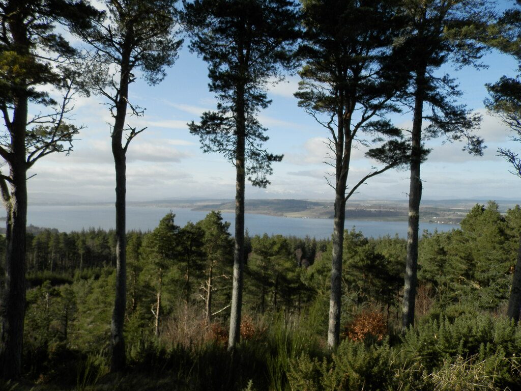
The ramparts enclose an area about 75 m by 23 m and are now grassed over. Excavation in 1971 showed that the walls had been vitrified, the stone heated until it fused. The fort was used again by the Picts, and legend says St Columba met the Pictish King Brude here. Trees hide most of Inverness, but there is a view north over the Beauly Firth to Ben Wyvis.
The car park is free. Buses from Inverness city centre run nearby. The nearest station is Inverness, about 2.8 km away.
Route drawn by Global Adventurer along OpenStreetMap paths (© OpenStreetMap contributors, ODbL), with figures worked out from it. Check the forecast and the ground on the day: paths change.
Good to know
- The grassy ramparts of an Iron Age fort, thought to date from around 500 BC, crown the hill
- Its stone walls were vitrified: heated until the rock fused
- Views north over the Beauly Firth to Ben Wyvis
Summits on the way
- Craig Phadrig
Getting there
Start: Craig Phadrig car park, Leachkin Brae · Free parking. 57.47454, -4.26808
By train: Inverness station is 2.8 km from the start.
Places to stay nearby
Rooms in and around Craig Phadrig car park: Booking.com → Expedia →
Affiliate links: if you book, Global Adventurer earns a small commission at no cost to you.
Paths change, and the weather decides the day. The line and figures come from OpenStreetMap and our own checks; take a map, check the forecast, and turn back if it isn't right.