Line © OpenStreetMap contributors (ODbL), checked by Global Adventurer.
The walk
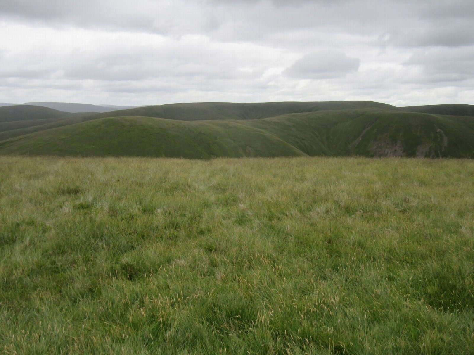
From Howgill Lane north of Sedbergh the walk climbs the steep grass slopes east to Fell Head, with a view over the Lune valley to the Lake District. It follows the ridge round by Breaks Head and Bush Howe, above deep valleys on both sides, to The Calf, at 676 m the highest of the Howgills; the summit is a short there-and-back from the ridge. The way down follows the long spur of White Fell to the farm at Castley and the lane back to the start.
It is 11.8 km with 657 m of ascent; allow about 5 hours. The grade is Moderate. The climbs are long and steep on grass.
The Howgills are open, rounded fells with few landmarks; in mist you need a map and compass. The slopes off the ridges are very steep. Sheep and fell ponies graze freely, so keep dogs on leads.
There is no car park; park considerately at the roadside on Howgill Lane. There is no station near; the nearest is Oxenholme Lake District, about 12 km away.
Route drawn by Global Adventurer along OpenStreetMap paths (© OpenStreetMap contributors, ODbL), with figures worked out from it. Check the forecast and the ground on the day: paths change.
Good to know
- Up from Howgill Lane to Fell Head
- Along the ridge by Breaks Head and Bush Howe to The Calf, the highest of the Howgills at 676 m
- Down White Fell to Castley
- Back along the quiet lane under the fells
Summits on the way
- Fell Head 640 m
- Bush Howe 622 m · passed close by
- The Calf 677 m
- White Fell Head · passed close by
Getting there
Start: Howgill Lane, Fellgate. 54.35381, -2.56465
Places to stay nearby
Rooms in and around Howgill Lane: Booking.com → Expedia →
Affiliate links: if you book, Global Adventurer earns a small commission at no cost to you.
Paths change, and the weather decides the day. The line and figures come from OpenStreetMap and our own checks; take a map, check the forecast, and turn back if it isn't right.