Line © OpenStreetMap contributors (ODbL), checked by Global Adventurer.
The walk
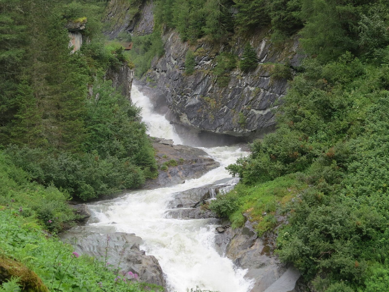
From the car park at Ströden, at the head of the Virgental, a track follows the young Isel west up the valley through larch woods and meadows, past the alp of Pebell. Where the valley narrows, the water trail climbs beside the Umbal Falls, a chain of cascades where the river tumbles through rock steps below the Umbal glacier. Viewing platforms and information points line the way. Return the same way to Ströden.
It is 4.7 km there and back with 147 m of ascent; allow about 1½ hours. The grade is Easy: a valley track, then a path with steps and platforms beside the falls.
The falls are in the Hohe Tauern National Park and are at their fullest in early summer, when the snow melts. The rocks and steps near the water are wet and slippery. Huts along the valley serve food in summer.
Ströden is the end of the road from Prägraten, with buses from Matrei in Osttirol in summer. Parking is charged.
Route drawn by Global Adventurer along OpenStreetMap paths (© OpenStreetMap contributors, ODbL), with figures worked out from it. Check the forecast and the ground on the day: paths change.
Good to know
- The young Isel tumbles through a chain of falls below the Umbal glacier; a water trail with information points climbs beside them
- Ströden, at the head of the Virgental, is the end of the road; parking is charged
- In the Hohe Tauern National Park
Getting there
Start: Ströden car park · Pay and display. 47.01570, 12.32223
Places to stay nearby
Rooms in and around Hohe Tauern: Booking.com → Expedia →
Affiliate links: if you book, Global Adventurer earns a small commission at no cost to you.
Paths change, and the weather decides the day. The line and figures come from OpenStreetMap and our own checks; take a map, check the forecast, and turn back if it isn't right.