Line © OpenStreetMap contributors (ODbL), checked by Global Adventurer.
The walk
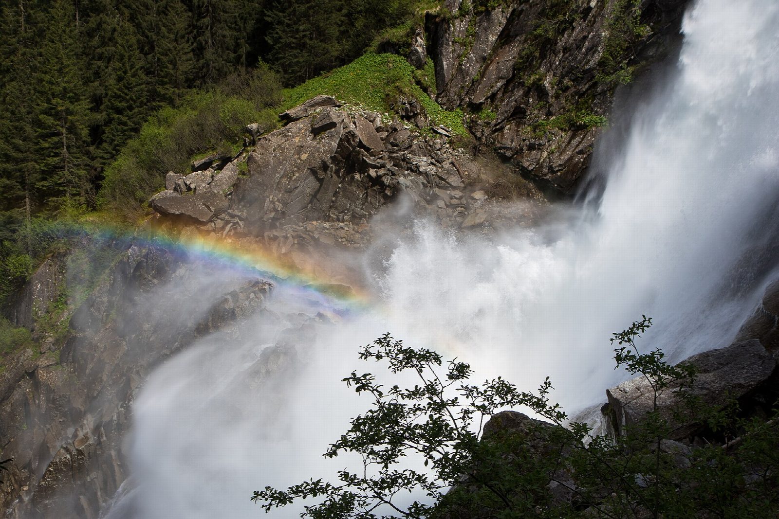
From the Burgwaldwiese car park in Krimml, walk to the ticket office at the foot of the falls. The waterfall path climbs through the forest in long zigzags beside the lowest fall, the middle fall and the upper fall, with a string of viewpoints right by the spray. Above the upper fall it levels out at the Schettbrücke, where the Krimmler Ache runs calmly out of the Krimmler Achental before its plunge. Return the same way.
It is 7 km there and back with 415 m of ascent; allow about 3 hours. The grade is Moderate: a broad, well-made path, steady and steep in places, wet with spray near the falls.
The falls drop about 380 m in three steps. The path is charged and open from 1 May to the end of October; the spray can soak you at the lower viewpoints, so take a waterproof. The falls are in the Hohe Tauern National Park.
Krimml is reached by bus from Zell am See, or by the Pinzgau local railway to Krimml station and a bus. The car parks below the falls are charged.
Route drawn by Global Adventurer along OpenStreetMap paths (© OpenStreetMap contributors, ODbL), with figures worked out from it. Check the forecast and the ground on the day: paths change.
Good to know
- The Krimml Waterfalls drop about 380 m in three steps, the highest falls in Austria
- The waterfall path climbs beside them through forest from viewpoint to viewpoint, to the top of the upper fall
- The waterfall path is charged and open from 1 May to the end of October
- In the Hohe Tauern National Park
Getting there
Start: Krimml, Burgwaldwiese car park P5 · Pay and display. 47.21369, 12.16990
Places to stay nearby
Rooms in and around Krimml: Booking.com → Expedia →
Affiliate links: if you book, Global Adventurer earns a small commission at no cost to you.
Paths change, and the weather decides the day. The line and figures come from OpenStreetMap and our own checks; take a map, check the forecast, and turn back if it isn't right.