Line © OpenStreetMap contributors (ODbL), checked by Global Adventurer.
The walk
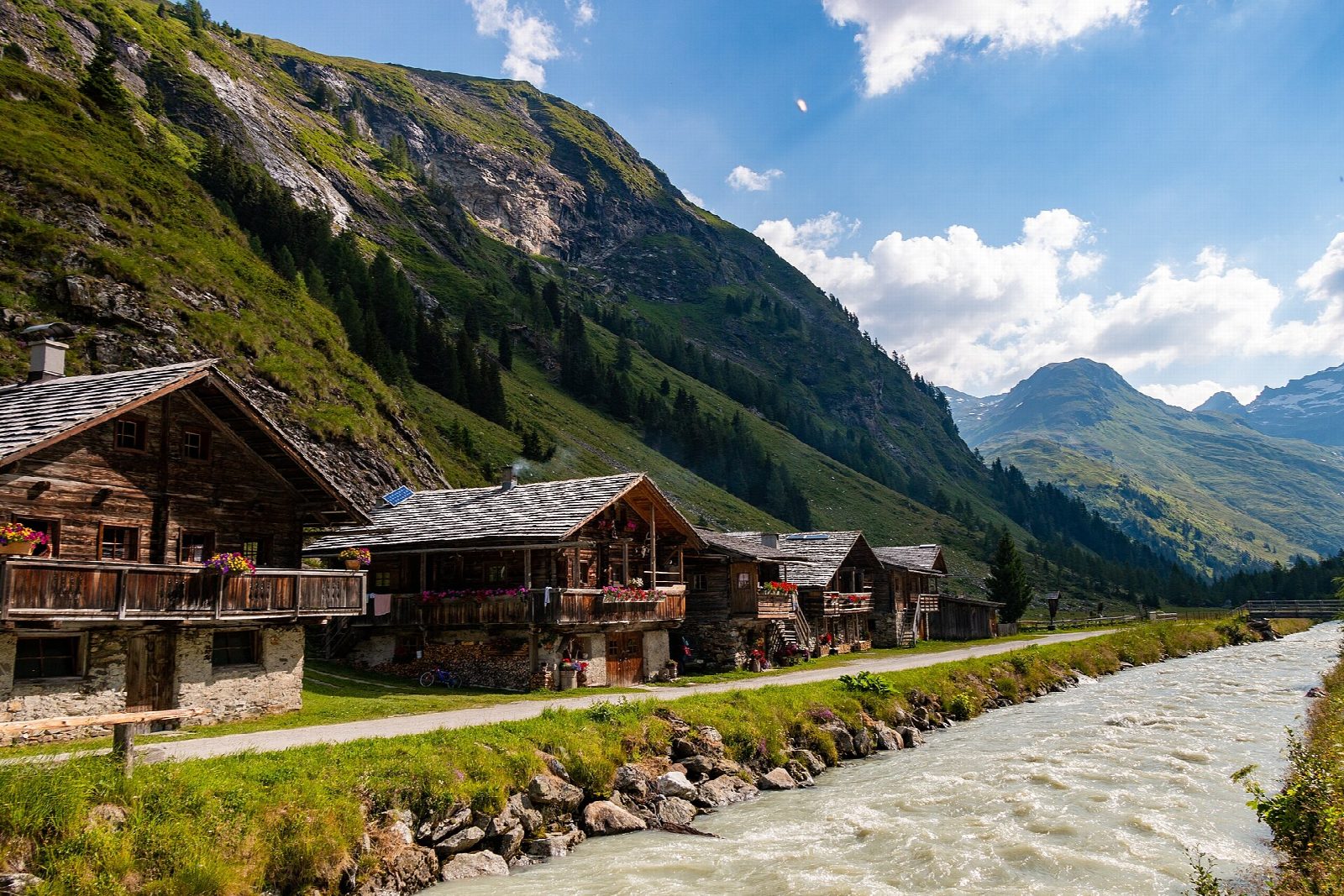
From the car park at the Matreier Tauernhaus, a track heads west into the Gschlösstal. It passes the alpine hamlet of Außergschlöss, where a small chapel is built into a boulder, and runs on along the floor of the valley. The valley opens out at Innergschlöss, a cluster of old farm buildings and an inn, with the Grossvenediger and the Schlatenkees glacier at its head. Return the same way.
It is 9 km there and back with 206 m of ascent; allow about 3 hours. The grade is Easy: a broad valley track with only gentle slopes.
The valley is in the Hohe Tauern National Park. A glacier trail climbs from Innergschlöss towards the Schlatenkees for those with more time; it is not included here. Cattle graze the valley in summer.
The Matreier Tauernhaus is on the Felbertauern road north of Matrei in Osttirol, with buses from Matrei and Lienz. Day visitors pay to park. In summer a shuttle taxi runs between the Tauernhaus and Innergschlöss.
Route drawn by Global Adventurer along OpenStreetMap paths (© OpenStreetMap contributors, ODbL), with figures worked out from it. Check the forecast and the ground on the day: paths change.
Good to know
- A level valley track to the alpine hamlet of Innergschlöss, at the foot of the Grossvenediger and its glaciers
- At Außergschlöss a small chapel is built into a boulder
- Day visitors pay to park at the Tauernhaus; a shuttle taxi runs up to Innergschlöss in summer
- In the Hohe Tauern National Park
Getting there
Start: Matreier Tauernhaus car park · Pay and display. 47.11827, 12.49832
Places to stay nearby
Rooms in and around Hohe Tauern: Booking.com → Expedia →
Affiliate links: if you book, Global Adventurer earns a small commission at no cost to you.
Paths change, and the weather decides the day. The line and figures come from OpenStreetMap and our own checks; take a map, check the forecast, and turn back if it isn't right.