Line © OpenStreetMap contributors (ODbL), checked by Global Adventurer.
The walk
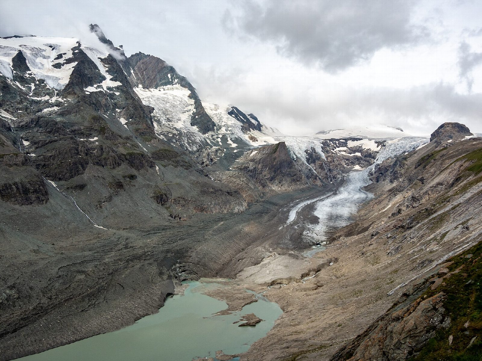
From the car park at the Kaiser-Franz-Josefs-Höhe, at the end of the Grossglockner High Alpine Road, walk past the visitor centre to the start of the Gamsgrube path. It runs north-west along the steep slope above the Pasterze, Austria's largest glacier, through a row of tunnels and avalanche galleries cut into the mountain. Between the tunnels the Grossglockner, 3,798 m, rises across the ice. The open section ends at the far end of the sixth tunnel; return the same way.
It is 2.4 km there and back with 78 m of ascent; allow about an hour. The grade is Easy: a level path through lit tunnels, at about 2,400 m.
Since 2020 the path beyond the sixth tunnel has been closed to visitors because of rockfall; going on to the Wasserfallwinkel is only for mountaineers with helmets, at their own risk. At this height the weather can turn cold at any time of year.
The Kaiser-Franz-Josefs-Höhe is reached by the Grossglockner High Alpine Road, a toll road that opened on 25 April in 2026 and closes at the end of October or in early November.
Route drawn by Global Adventurer along OpenStreetMap paths (© OpenStreetMap contributors, ODbL), with figures worked out from it. Check the forecast and the ground on the day: paths change.
Good to know
- A path through a row of tunnels high above the Pasterze, Austria's largest glacier, facing the Grossglockner, 3,798 m
- Since 2020 the path has been open only as far as the end of the sixth tunnel, because of rockfall beyond it
- The Kaiser-Franz-Josefs-Höhe is reached by the Grossglockner High Alpine Road, a toll road open from late April or May to early November
- In the Hohe Tauern National Park
Getting there
Start: Kaiser-Franz-Josefs-Höhe car park. 47.07516, 12.75178
Places to stay nearby
Rooms in and around Hohe Tauern: Booking.com → Expedia →
Affiliate links: if you book, Global Adventurer earns a small commission at no cost to you.
Paths change, and the weather decides the day. The line and figures come from OpenStreetMap and our own checks; take a map, check the forecast, and turn back if it isn't right.