Line © OpenStreetMap contributors (ODbL), checked by Global Adventurer.
The walk
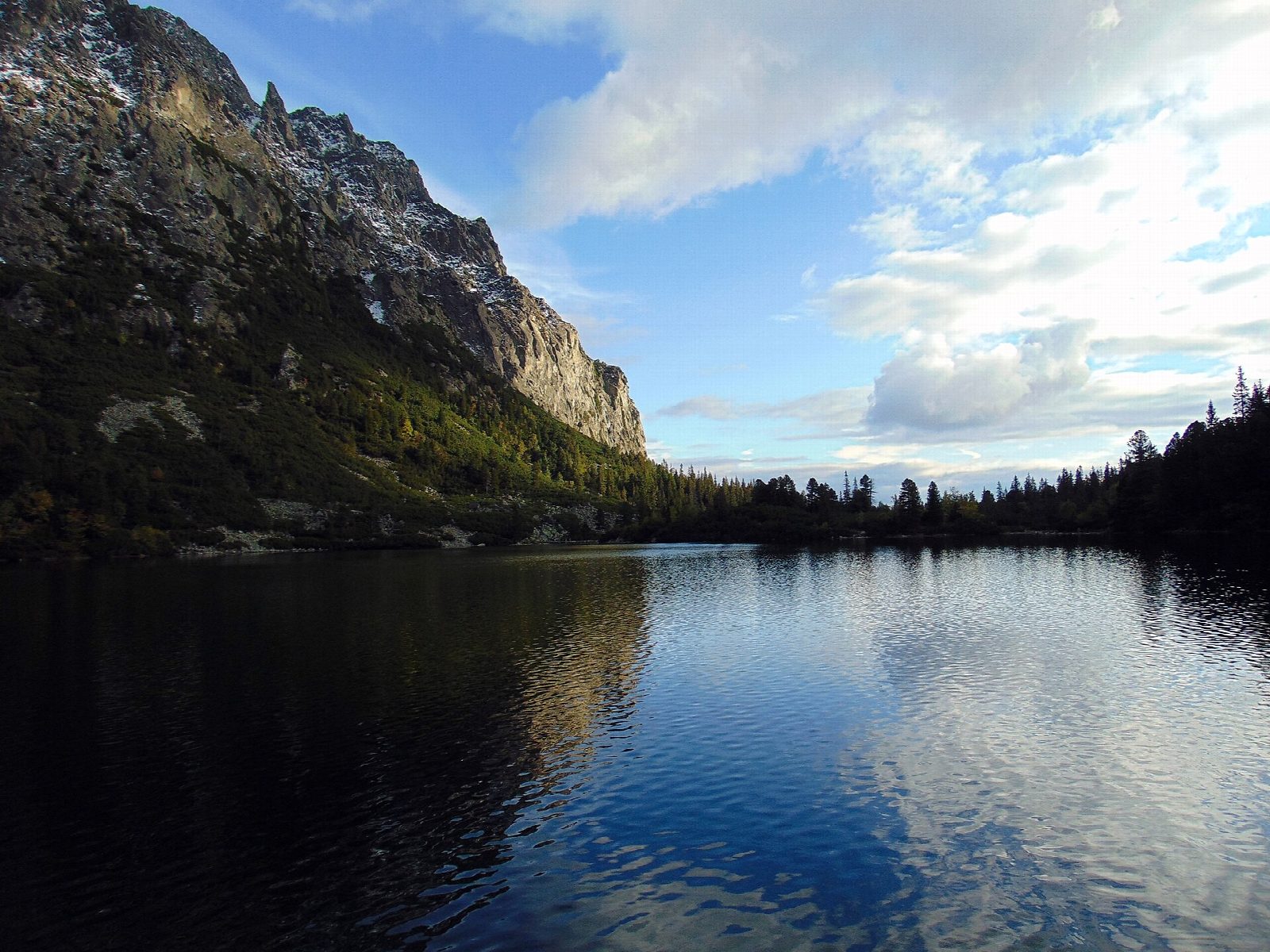
From the railway station at Štrbské Pleso, walk up through the resort and pick up the red-marked magistrála, which contours east through spruce and dwarf pine below the peaks, with views south over the Poprad valley. It drops to Popradské pleso, a glacial lake in the Mengusovská valley with a mountain hotel on its shore. A short climb leads to the Symbolic Cemetery, where painted wooden crosses and plaques remember those who died in the Tatras. Return the same way.
It is 11.9 km there and back with 335 m of ascent; allow about 4 hours. The grade is Moderate: a rocky path with boulders and roots, and some steep sections.
Tatra National Park closes the high-mountain paths, passes and summits for seven months each winter. This walk stays on the paths between the resort and the hut, but expect snow and ice on them from late autumn.
Štrbské Pleso is on the Tatra electric railway. On the way back you can also walk down from Popradské pleso to the railway halt of the same name.
Route drawn by Global Adventurer along OpenStreetMap paths (© OpenStreetMap contributors, ODbL), with figures worked out from it. Check the forecast and the ground on the day: paths change.
Good to know
- The path follows the Tatranská magistrála, the long contour path along the southern side of the High Tatras
- Popradské pleso is a glacial lake at about 1,500 m in the Mengusovská valley, with a mountain hotel on its shore
- The Symbolic Cemetery above the lake remembers people who died in the Tatras, with hand-painted crosses and plaques
- Štrbské pleso, the start, is the second largest lake on the Slovak side of the Tatras
Getting there
Start: Štrbské Pleso, railway station · Pay and display. 49.11928, 20.06476
By train: Štrbské Pleso OŽ station is 0.1 km from the start.
Places to stay nearby
Rooms in and around Štrbské Pleso: Booking.com → Expedia →
Affiliate links: if you book, Global Adventurer earns a small commission at no cost to you.
Paths change, and the weather decides the day. The line and figures come from OpenStreetMap and our own checks; take a map, check the forecast, and turn back if it isn't right.