Line © OpenStreetMap contributors (ODbL), checked by Global Adventurer.
The walk
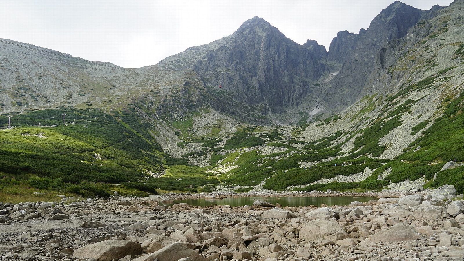
From the top of the funicular at Hrebienok, follow the path to Rainerova chata, the oldest hut in the High Tatras, and on beside the Studený potok, where the Obrovský vodopád and other falls crash down through the forest. The path climbs to Zamkovského chata and then along the magistrála across the slopes below Lomnický štít to Skalnaté pleso, a small glacial lake at about 1,750 m with an observatory nearby. From the lake a long path descends through the forest to Tatranská Lomnica.
It is 12.3 km one way with 490 m of ascent and 917 m of descent; allow about 5 hours. The grade is Moderate: rocky mountain paths with boulders and steps, and a long descent at the end.
The path from Hrebienok to Rainerova chata reopened on 1 August 2026 after repairs, with a new steel barrier against rockfall. Tatra National Park closes the high-mountain paths in winter; this walk keeps below them, but expect snow and ice on its higher part from late autumn.
Ride the funicular from Starý Smokovec to Hrebienok. Tatranská Lomnica is on the Tatra electric railway back to Starý Smokovec.
Route drawn by Global Adventurer along OpenStreetMap paths (© OpenStreetMap contributors, ODbL), with figures worked out from it. Check the forecast and the ground on the day: paths change.
Good to know
- Rainerova chata, by Hrebienok, is the oldest surviving hut in the High Tatras
- The waterfalls of the Studený potok, among them the Obrovský vodopád, fall beside the path
- Skalnaté pleso is a small glacial lake at about 1,750 m below Lomnický štít, with an observatory nearby
- The way down ends at Tatranská Lomnica, on the Tatra electric railway back to Starý Smokovec
Getting there
Start: Hrebienok, top of the funicular from Starý Smokovec. 49.15867, 20.22525
By train: Hrebienok station is 0.1 km from the start.
Places to stay nearby
Rooms in and around Hrebienok: Booking.com → Expedia →
Affiliate links: if you book, Global Adventurer earns a small commission at no cost to you.
Paths change, and the weather decides the day. The line and figures come from OpenStreetMap and our own checks; take a map, check the forecast, and turn back if it isn't right.