Line © OpenStreetMap contributors (ODbL), checked by Global Adventurer.
The hike
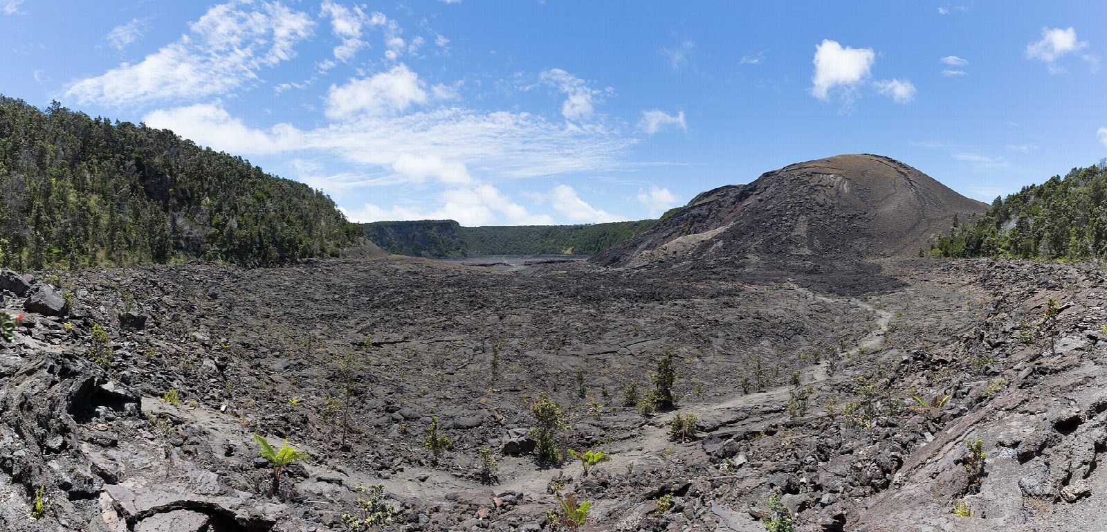
The walk starts at the Kīlauea Iki Overlook on Crater Rim Drive in Hawaiʻi Volcanoes National Park. Go right from the overlook, as the park recommends, along the Crater Rim Trail through rainforest. Keep left at the junctions for the Kīlauea Iki Trail, which drops by rocky slopes and uneven steps to the crater floor near the vent of 1959. Stacked rocks, called ahu, mark the way across the hardened lava lake, past cracks that still steam. Switchbacks climb the far wall to Nāhuku, the Thurston Lava Tube, a short walk across the road, and the rim trail leads back to the overlook.
It is a 3.7-mile (6.0 km) loop with 530 feet (161 m) of climbing; allow about 2 hours. The grade is Moderate: short, with a steep, rocky way down to the crater and back up.
Kīlauea has been erupting in episodes inside a closed part of the park. On September 30, 2026 it was paused, and no alert closed this trail, the overlook or Nāhuku. That can change within hours: check the park's alerts, the air quality and the volcano update on the day.
Stay on the trail and away from cracks and cliff edges; the steam is scalding. The overlook car park is small and often full by mid-morning. The park charges $30 a vehicle, by card.
Route drawn by Global Adventurer along OpenStreetMap paths (© OpenStreetMap contributors, ODbL), with figures worked out from it. Check the forecast and the ground on the day: paths change.
Good to know
- Down through rainforest and across the floor of a lava lake left by the 1959 eruption, still steaming
- The overlook car park is small and fills early; the Devastation Trail car park is the alternative
- The crater floor is exposed to hot sun and cold rain: carry water and a layer
Summits on the way
- Kīlauea Iki · passed close by
Getting there
Start: Kīlauea Iki Overlook · Free parking. 19.41662, -155.24254
Places to stay nearby
Rooms in and around Hawaii Island: Booking.com → Expedia →
Affiliate links: if you book, Global Adventurer earns a small commission at no cost to you.
Paths change, and the weather decides the day. The line and figures come from OpenStreetMap and our own checks; take a map, check the forecast, and turn back if it isn't right.