Line © OpenStreetMap contributors (ODbL), checked by Global Adventurer.
The walk
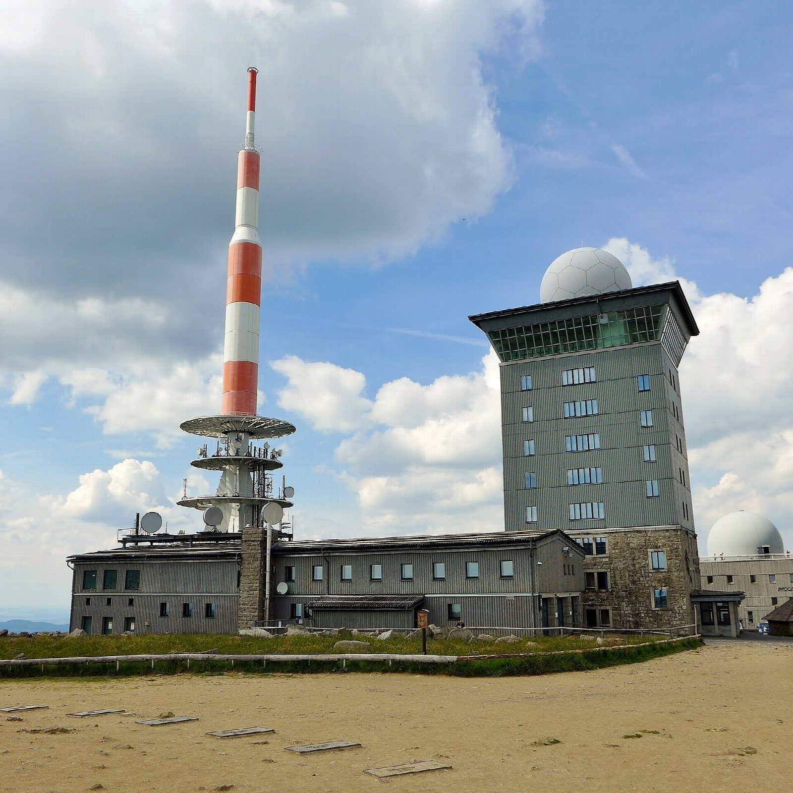
The walk starts from the large pay car park at Torfhaus, by the national park visitor centre, already at about 800 m. The path leaves the road beside the Torfhaus bog and follows an old water channel, the Abbegraben, through forest and over the Quitschenberg to the Eckersprung, where a shelter stands by the spring. From there it runs beside the track of the Brocken Railway through the Goethe bog to join the Brocken road for the last climb to the summit at 1,141 m. Return the same way.
It is 17.8 km there and back with 360 m of ascent; allow about 5½ hours. The grade is Moderate: a long walk on good, broad paths, never steep until the end.
Goethe climbed the Brocken this way on 10 December 1777. Much of the spruce forest along it has died in recent years and is growing back, so the path is more open than it was. The summit is bare and exposed, with fog on more than 300 days a year and strong winds: take warm, windproof clothes.
Bus 820 between Bad Harzburg and Braunlage stops at Torfhaus. In the national park keep to the marked paths and keep dogs on a lead. In winter the whole route is under snow.
Route drawn by Global Adventurer along OpenStreetMap paths (© OpenStreetMap contributors, ODbL), with figures worked out from it. Check the forecast and the ground on the day: paths change.
Good to know
- The way Goethe took to the Brocken on 10 December 1777
- Past the Torfhaus raised bog and the Eckersprung spring, then beside the Brocken Railway to the summit road
- The start at Torfhaus is already at about 800 m
- In Harz National Park: keep to the marked paths; dogs on a lead
Summits on the way
- Untere Hirschhörner 883 m · passed close by
- Brocken 1,141 m
Getting there
Start: Torfhaus car park · Pay and display. 51.80486, 10.53554
Places to stay nearby
Rooms in and around Harz: Booking.com → Expedia →
Affiliate links: if you book, Global Adventurer earns a small commission at no cost to you.
Paths change, and the weather decides the day. The line and figures come from OpenStreetMap and our own checks; take a map, check the forecast, and turn back if it isn't right.