Line © OpenStreetMap contributors (ODbL), checked by Global Adventurer.
The walk
The walk starts from the Am Winterbergtor car park in Schierke and goes up through the village to the national park house, where the paths begin. The Eckerloch path climbs beside a stream over boulders and roots, crosses the line of the Brocken Railway, passes a shelter and comes out on the Brocken road for the last stretch to the summit at 1,141 m. The way back follows the road down for a while, then leaves it for the line of the old bobsleigh run and a forest track back to Schierke.
It is 13.1 km with 520 m of ascent; allow about 4¾ hours. The grade is Moderate. The Eckerloch is steep, rocky and slow; the descent is easy, a third of the whole on tarmac.
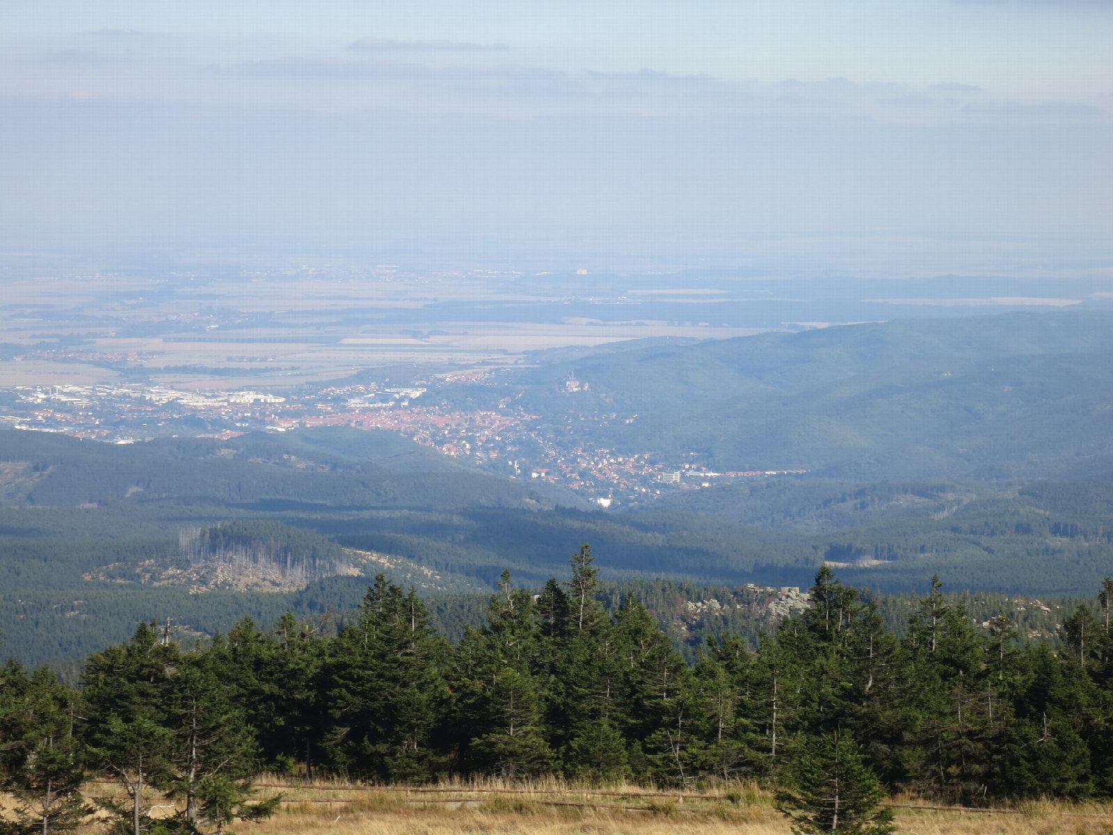
The Brocken is the highest summit in northern Germany, a bare dome above the tree line with fog on more than 300 days a year and a climate of its own: take warm, windproof clothes at any season. From 1961 to 1989 it was a closed military zone on the inner German border.
Steam trains of the Brocken Railway run from Schierke to the top if you want to ride one way. In the national park keep to the marked paths and keep dogs on a lead. In winter the Eckerloch is under snow and ice.
Route drawn by Global Adventurer along OpenStreetMap paths (© OpenStreetMap contributors, ODbL), with figures worked out from it. Check the forecast and the ground on the day: paths change.
Good to know
- The Brocken, 1,141 m, is the highest summit in northern Germany, with fog on more than 300 days a year
- Up by the Eckerloch, the shortest and steepest way, over boulders and roots
- Down by the Brocken road and the line of the old bobsleigh run
- The steam trains of the Brocken Railway run from Schierke to the summit
- In Harz National Park: keep to the marked paths; dogs on a lead
Summits on the way
- Brocken 1,141 m
Getting there
Start: Am Winterbergtor car park, Schierke · Pay and display. 51.76513, 10.65174
Places to stay nearby
Rooms in and around Am Winterbergtor car park: Booking.com → Expedia →
Affiliate links: if you book, Global Adventurer earns a small commission at no cost to you.
Paths change, and the weather decides the day. The line and figures come from OpenStreetMap and our own checks; take a map, check the forecast, and turn back if it isn't right.