Line © OpenStreetMap contributors (ODbL), checked by Global Adventurer.
The walk
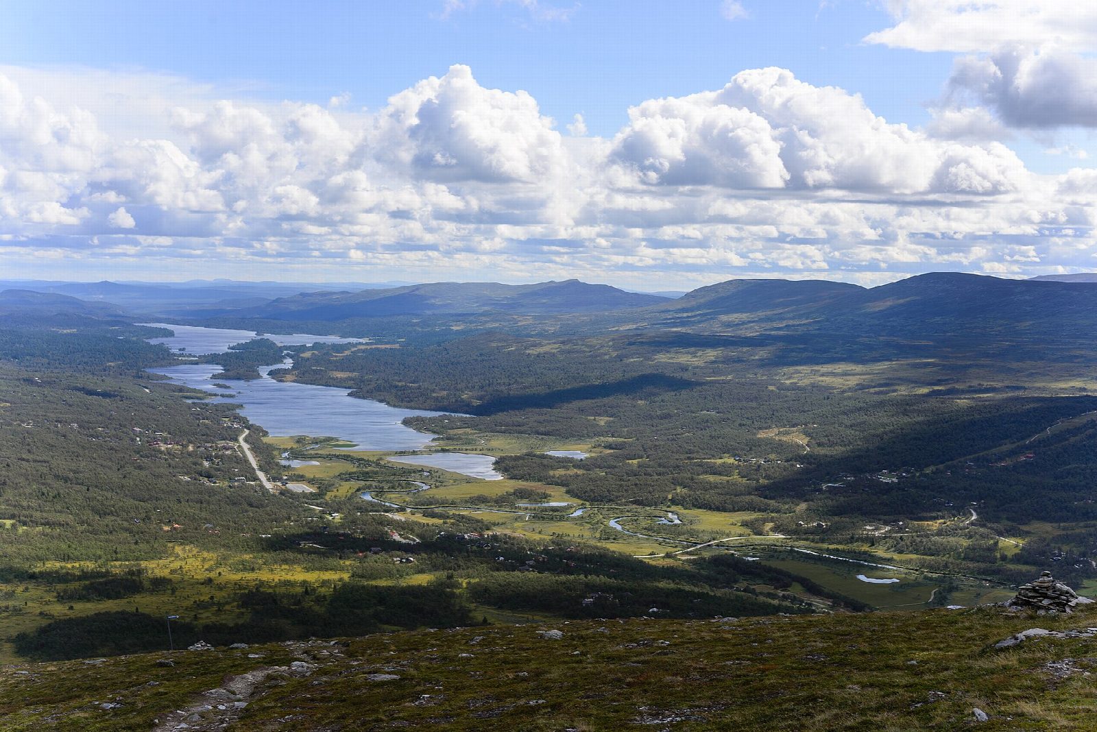
From the nature rest area for Anderssjöåfallet, on the road 1.2 km west of Tänndalen ski area, the path climbs beside the waterfall on a run of 303 wooden steps. Above the falls it heads east over open ground to the foot of Hamrafjället and makes a loop round the mountain's western slopes, known for their flowers, reaching about 1,000 m. The way back crosses open mire on boardwalks and comes down through mountain birch forest to the path above the falls, and down the steps to the start.
It is 8.2 km round with 283 m of ascent; allow about 3 hours. The grade is Easy: a steep start on the steps, then good mountain paths and boardwalks.
Funäsdalen's tourist board recommends walking in the mountains here from June to September. Hamrafjället is a nature reserve: no camping or fires, and no picking flowers, mosses or lichens. A marked bird area on the mountain's south-east slope is closed from 1 May to 31 July; this walk does not go there. The trail company may close the path for a time when the water is high.
The rest area has a car park, tables, benches and a fireplace.
Route drawn by Global Adventurer along OpenStreetMap paths (© OpenStreetMap contributors, ODbL), with figures worked out from it. Check the forecast and the ground on the day: paths change.
Good to know
- The walk climbs beside Anderssjöåfallet on a run of 303 wooden steps, then onto the open slopes of Hamrafjället, known for its mountain flowers
- The way back crosses open mire on boardwalks and comes down through mountain birch forest
- Hamrafjället is a nature reserve: no camping or fires, and a marked bird area on the south-east slope is closed from 1 May to 31 July
- Destination Funäsdalen grades the trail moderate
Getting there
Start: Anderssjöåfallet rest area · Free parking. 62.58206, 12.20766
Places to stay nearby
Rooms in and around Härjedalen: Booking.com → Expedia →
Affiliate links: if you book, Global Adventurer earns a small commission at no cost to you.
Paths change, and the weather decides the day. The line and figures come from OpenStreetMap and our own checks; take a map, check the forecast, and turn back if it isn't right.