Line © OpenStreetMap contributors (ODbL), checked by Global Adventurer.
The walk
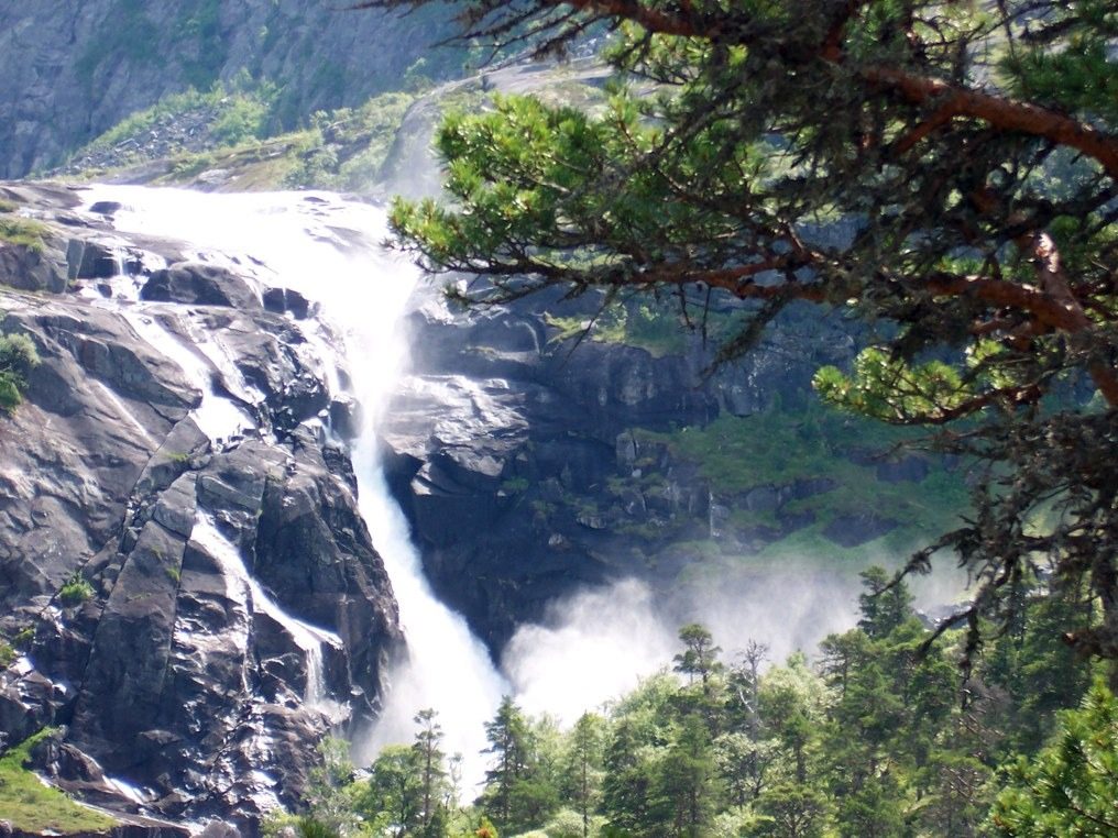
From the car park at the foot of Husedalen, above Kinsarvik, a road and then a path climb up the valley to Tveitafossen, the first of the falls, near the power station. The path goes on past Nyastølfossen and climbs steeply to Nykkjesøyfossen, then on again over rougher ground to Søtefossen at Fjaoene, the highest of the four. Return the same way.
It is 14.8 km there and back with 872 m of ascent; allow about 6½ hours. The grade is Hard: a long, steady climb of some 800 m on a rough mountain path.
Bergen og Hordaland Turlag and Odda/Ullensvang Turlag give the season as May to October. Their route starts in Kinsarvik itself, from Mikkelparken, the church or Husemoen; starting at the car park in the valley saves some road walking. Turning back at any of the falls makes a shorter walk.
The car park at the foot of Husedalen, with room for about 40 cars, is free.
Route drawn by Global Adventurer along OpenStreetMap paths (© OpenStreetMap contributors, ODbL), with figures worked out from it. Check the forecast and the ground on the day: paths change.
Good to know
- Up the valley of the Kinso from Kinsarvik past four waterfalls: Tveitafossen, Nyastølfossen, Nykkjesøyfossen and Søtefossen
- A steady climb of some 800 m to the highest fall, Søtefossen
- A mountain path most of the way, steep in places
- Free car park at the foot of the valley
Getting there
Start: Husedalen · Free parking. 60.36341, 6.74409
Places to stay nearby
Rooms in and around Hardanger: Booking.com → Expedia →
Affiliate links: if you book, Global Adventurer earns a small commission at no cost to you.
Paths change, and the weather decides the day. The line and figures come from OpenStreetMap and our own checks; take a map, check the forecast, and turn back if it isn't right.