Line © OpenStreetMap contributors (ODbL), checked by Global Adventurer.
The hike
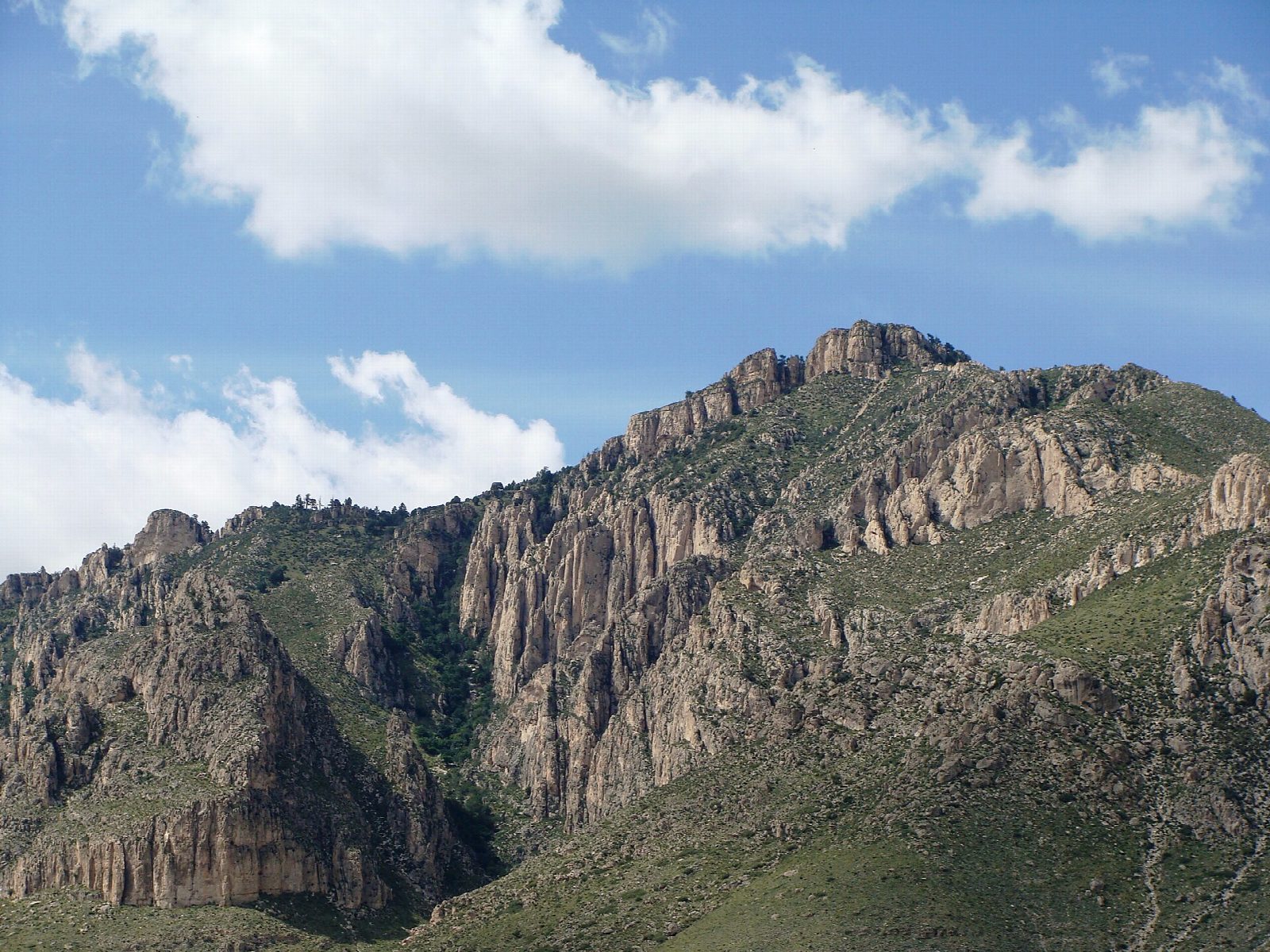
The walk starts at the Pine Springs Trailhead in Guadalupe Mountains National Park, half a mile from the Pine Springs Visitor Center. The first mile and a half is the steepest, in switchbacks up the open mountainside and past a cliff. The trail then turns onto the north side of the mountain, through a forest of pinyon, white pine and Douglas fir, to a false summit at nearly three miles. It passes the backcountry campsite, crosses a wooden bridge, and climbs past a view down on El Capitan to the summit, at 8,751 feet. Return the same way.
It is 8.3 miles (13.4 km) round trip with 2,640 feet (806 m) of climbing; allow about 6 hours. The grade is Hard: a good trail all the way, but long, steep and exposed to wind.
Winds of over 40 miles an hour are not uncommon here, and the summit is colder and windier than the trailhead: turn back in high wind or if storms build, as lightning is a real danger on the exposed peak. There is no water on the trail. The park says to carry a gallon each and to turn round when half of it is gone.
Entry is $10 a person, valid for seven days, paid by card at the visitor center or at the trailhead. Pets are not allowed on the trail.
Route drawn by Global Adventurer along OpenStreetMap paths (© OpenStreetMap contributors, ODbL), with figures worked out from it. Check the forecast and the ground on the day: paths change.
Good to know
- The highest point in Texas, 8,751 feet, crowned by a steel pyramid put up by American Airlines in 1958
- Winds of over 40 miles an hour are not uncommon on the upper mountain; turn back if storms build
- No water on the trail: carry a gallon each
Summits on the way
- Guadalupe Peak 8,750 ft (2,667 m)
Getting there
Start: Pine Springs Trailhead. 31.89636, -104.82793
Places to stay nearby
Rooms in and around Guadalupe Mountains: Booking.com → Expedia →
Affiliate links: if you book, Global Adventurer earns a small commission at no cost to you.
Paths change, and the weather decides the day. The line and figures come from OpenStreetMap and our own checks; take a map, check the forecast, and turn back if it isn't right.