Line © OpenStreetMap contributors (ODbL), checked by Global Adventurer.
The hike
The walk starts at the Ramsey Cascades Trailhead, at the end of Ramsey Prong Road in Greenbrier. The first mile and a half follows an old gravel roadbed up the Middle Prong to a turning circle. From there the Ramsey Cascades Trail is a narrow footpath that grows rockier as it climbs. It crosses the stream on long, narrow footlog bridges and passes through one of the largest stands of old-growth forest left in the Smokies. The last stretch is steep and rough and ends at the foot of the cascades. Return the same way.
It is 7.8 miles (12.6 km) round trip with 2,170 feet (662 m) of climbing; allow about 5 hours. The grade is Moderate by our time-based scale; the park calls it relatively challenging, with steep sections, roots and rocks.
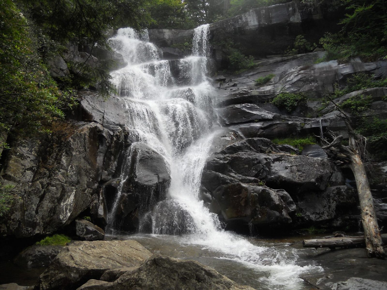
The water falls 105 feet over ledges into a small pool. Do not try to climb to the top of the falls: the rock is muddy and slippery, and people have died doing it. The footlogs are high and narrow and can be slick when wet.
The gravel road into Greenbrier is narrow and the trailhead lot is small, so start early. A parking tag is needed to park for more than 15 minutes: $5 a day, $15 a week or $40 a year. Pets are not allowed on the trail.
Route drawn by Global Adventurer along OpenStreetMap paths (© OpenStreetMap contributors, ODbL), with figures worked out from it. Check the forecast and the ground on the day: paths change.
Good to know
- At 105 ft, the tallest waterfall in the park
- Through old-growth forest with some of the biggest tulip trees in the Smokies
- Stay off the rocks at the falls: people have died climbing them
Getting there
Start: Ramsey Cascades Trailhead, Greenbrier. 35.70266, -83.35751
Places to stay nearby
Rooms in and around Ramsey Cascades Trailhead: Booking.com → Expedia →
Affiliate links: if you book, Global Adventurer earns a small commission at no cost to you.
Paths change, and the weather decides the day. The line and figures come from OpenStreetMap and our own checks; take a map, check the forecast, and turn back if it isn't right.