Line © OpenStreetMap contributors (ODbL), checked by Global Adventurer.
The hike
The walk starts at the Chimney Tops Trailhead on Newfound Gap Road (US 441), about 7 miles from Sugarlands Visitor Center. The trail drops to cross Walker Camp Prong on a long footbridge, then follows Road Prong upstream over more bridges to the junction at Beech Flats, where the Road Prong Trail goes left. Keep right. From here the climb is hard, up long flights of stone and timber steps, before the trail swings north along a narrowing ridge to the observation point. Return the same way.
It is 3.7 miles (5.9 km) round trip with 1,470 feet (448 m) of climbing; allow about 3 hours. The grade is Moderate: short, but most of the climb is packed into the second half and it is steep.
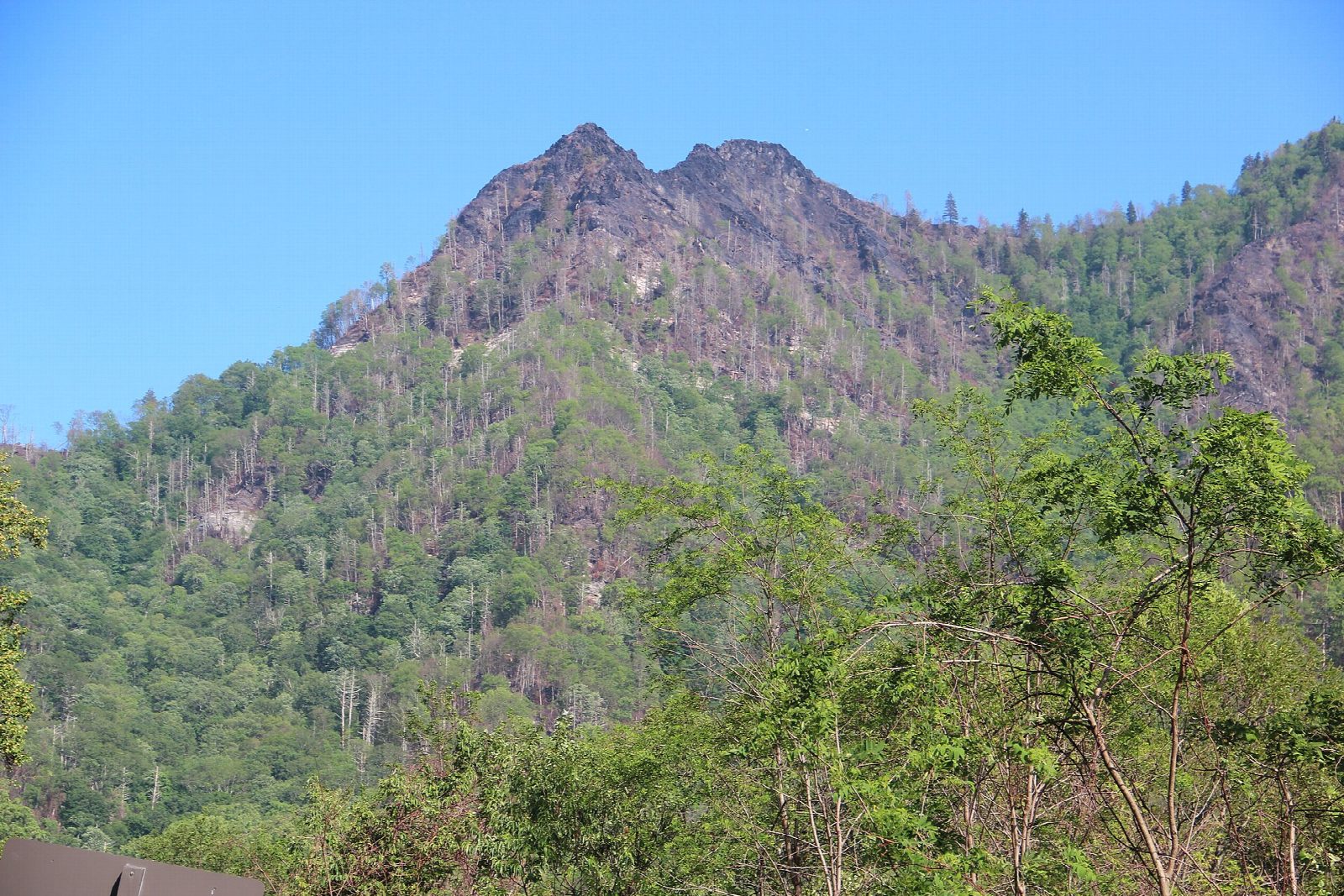
The trail ends at the observation point, about a quarter of a mile short of the pinnacles. The ground beyond was burned in the wildfire of November 2016 and is still closed: it is eroding and unsafe, and the park asks you not to pass the barrier.
This is one of the busiest trailheads in the park and parking is limited, so arrive early or use a shuttle. A parking tag is needed to park for more than 15 minutes: $5 a day, $15 a week or $40 a year. Pets are not allowed on the trail.
Route drawn by Global Adventurer along OpenStreetMap paths (© OpenStreetMap contributors, ODbL), with figures worked out from it. Check the forecast and the ground on the day: paths change.
Good to know
- Short but steep, with long flights of stone and timber steps
- Since the 2016 wildfire the trail ends at an observation point; the pinnacles beyond are closed
- One of the park's busiest trailheads: arrive early, with a parking tag
Getting there
Start: Chimney Tops Trailhead, Newfound Gap Road · Free parking. 35.63551, -83.46971
Places to stay nearby
Rooms in and around Chimney Tops Trailhead: Booking.com → Expedia →
Affiliate links: if you book, Global Adventurer earns a small commission at no cost to you.
Paths change, and the weather decides the day. The line and figures come from OpenStreetMap and our own checks; take a map, check the forecast, and turn back if it isn't right.
