Line © OpenStreetMap contributors (ODbL), checked by Global Adventurer.
The hike
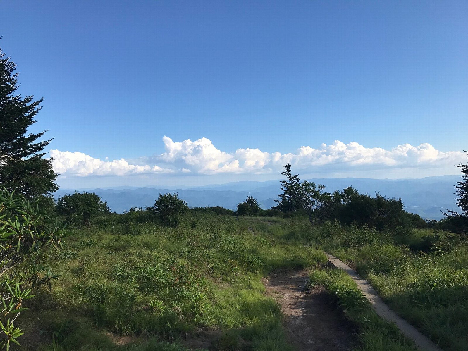
The walk starts at the Kuwohi parking area (formerly Clingmans Dome), at the end of Kuwohi Road. The Forney Ridge Trailhead is at the far end of the lot, on the left just before the visitor information center. The trail is wide and graveled at first and drops down many steps. A bypass trail to the Appalachian Trail soon leaves on the right; keep left. About a mile down, the Forney Creek Trail also branches right; go straight on. The path narrows and comes out on Andrews Bald, an open meadow. Return the same way.
It is 3.7 miles (6.0 km) round trip with 810 feet (248 m) of climbing; allow about 2 hours. The grade is Easy, but nearly all the climbing is on the way back, at over 6,000 feet.
The bald is known for its flame azaleas and rhododendrons in early summer. There is no shelter on it, and it is colder and wetter here than in the valleys.
Kuwohi Road is closed to cars in winter: in 2026 it is open from April 1 to November 29. The parking area is very crowded in season, so come early or late in the day. A parking tag is needed to park for more than 15 minutes: $5 a day, $15 a week or $40 a year. Pets are not allowed on the trail.
Route drawn by Global Adventurer along OpenStreetMap paths (© OpenStreetMap contributors, ODbL), with figures worked out from it. Check the forecast and the ground on the day: paths change.
Good to know
- Down the Forney Ridge Trail to the highest grassy bald in the Smokies
- Flame azaleas and rhododendrons flower on the bald in June
- Kuwohi Road is closed to cars from late November to March 31; the walk back is all uphill
Summits on the way
- Andrews Bald 5,909 ft (1,801 m) · passed close by
Getting there
Start: Kuwohi parking area (formerly Clingmans Dome) · Parking fee. 35.55684, -83.49488
Places to stay nearby
Rooms in and around Great Smoky Mountains: Booking.com → Expedia →
Affiliate links: if you book, Global Adventurer earns a small commission at no cost to you.
Paths change, and the weather decides the day. The line and figures come from OpenStreetMap and our own checks; take a map, check the forecast, and turn back if it isn't right.
