Line © OpenStreetMap contributors (ODbL), checked by Global Adventurer.
The hike
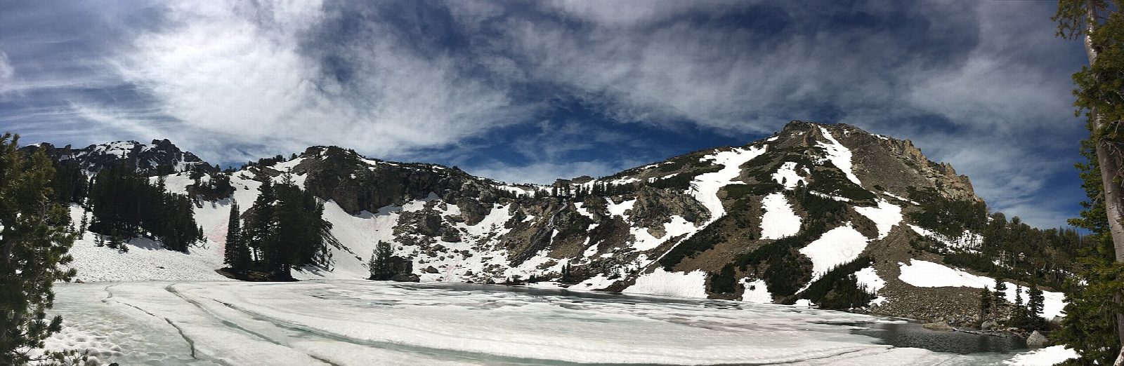
The walk starts at the Leigh Lake Trailhead, the last parking lot on the String Lake road from North Jenny Lake Junction. The trail heads north to the outlet of Leigh Lake, crosses it on a footbridge, and climbs west into Paintbrush Canyon. The climb is gradual at first through forest, then steepens in the upper canyon, where a side trail leads to Holly Lake, a small lake below Mount Woodring at about 9,400 feet. Return the same way.
It is 12.7 miles (20.4 km) round trip with 2,560 feet (779 m) of climbing; allow about 7 hours. The grade is Hard: a long day with a steady climb to high country.
Grizzly and black bears use the canyon: carry bear spray, make noise, and hike in a group. Snow and ice can lie in the upper canyon into July. From November 1 to April 30, the Teton Park Road is closed to cars beyond the Taggart Lake Trailhead, which cuts off the String Lake area.
Parking at String Lake is often congested at midday, especially at weekends.
Route drawn by Global Adventurer along OpenStreetMap paths (© OpenStreetMap contributors, ODbL), with figures worked out from it. Check the forecast and the ground on the day: paths change.
Good to know
- Up Paintbrush Canyon to a small lake below Mount Woodring, bright with wildflowers in July
- A long, steady climb; snow can lie in the upper canyon into July
- Grizzly and black bears use the canyon: carry bear spray and make noise
Getting there
Start: Leigh Lake Trailhead. 43.78797, -110.73041
Places to stay nearby
Rooms in and around Grand Teton National Park: Booking.com → Expedia →
Affiliate links: if you book, Global Adventurer earns a small commission at no cost to you.
Paths change, and the weather decides the day. The line and figures come from OpenStreetMap and our own checks; take a map, check the forecast, and turn back if it isn't right.