Line © OpenStreetMap contributors (ODbL), checked by Global Adventurer.
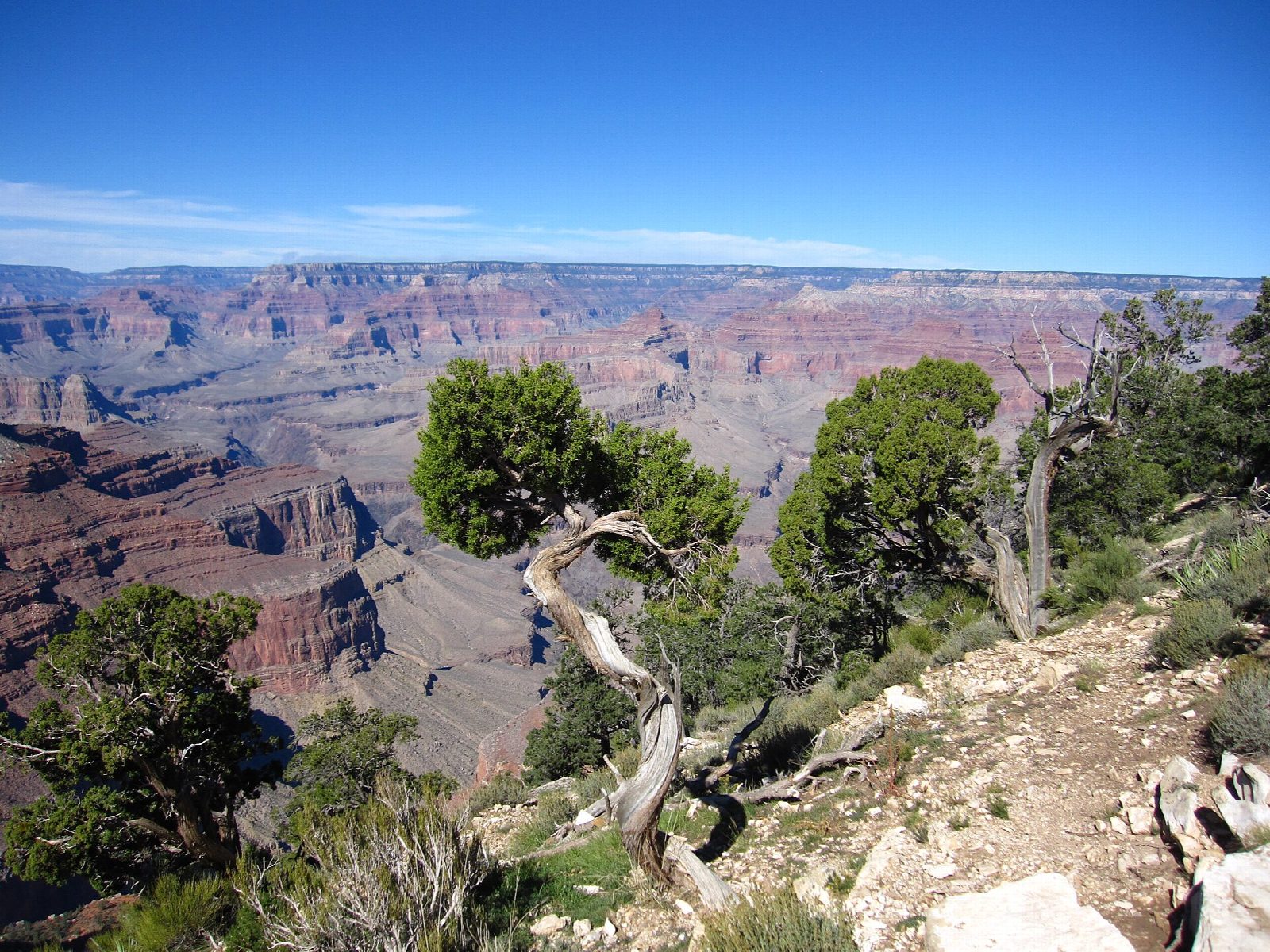
The hike
From the Hermits Rest shuttle stop follow the dirt road past the restrooms to the trailhead, a quarter of a mile on. The Hermit Trail drops steeply down rocky switchbacks into Waldron Basin. Keep right at the junction with the Waldron Trail and right again where the Dripping Springs Trail leaves, then carry on down to Santa Maria Spring, where a stone rest house gives shade. Return the same way.
It is 4.3 miles (6.9 km) round trip with 1,600 feet (489 m) of climbing; allow about 3½ hours. The grade is Hard: the trail is unmaintained, steep and rocky, and the whole climb comes on the return. The park gives 5 miles and four to six hours for the round trip.
From March 1 to November 30 Hermit Road is closed to private cars: take the free Hermits Rest (Red) shuttle from the Village, and note that the last bus back leaves an hour after sunset. In December, January and February you can drive to Hermits Rest. There is no drinking water on the trail, and the spring's water must be treated. There are no toilets beyond Hermits Rest. In summer keep off the trail between 10 a.m. and 4 p.m. The South Rim is under water restrictions after the flood of August 2026, so bring your water with you.
Route drawn by Global Adventurer along OpenStreetMap paths (© OpenStreetMap contributors, ODbL), with figures worked out from it. Check the forecast and the ground on the day: paths change.
Good to know
- A rough, unmaintained trail built for tourists in the 1910s, for experienced desert hikers
- Hermit Road is closed to private cars from March to November: take the free shuttle
- A stone rest house shades the spring; treat its water before drinking
Getting there
Start: Hermits Rest. 36.06251, -112.21023
Places to stay nearby
Rooms in and around Grand Canyon: Booking.com → Expedia →
Affiliate links: if you book, Global Adventurer earns a small commission at no cost to you.
Paths change, and the weather decides the day. The line and figures come from OpenStreetMap and our own checks; take a map, check the forecast, and turn back if it isn't right.
