Line © OpenStreetMap contributors (ODbL), checked by Global Adventurer.
The hike
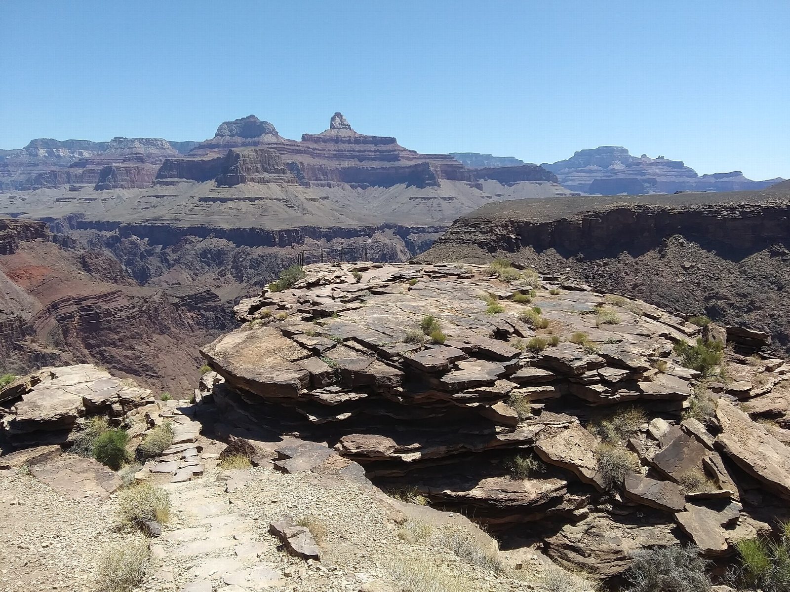
The trail starts just west of Bright Angel Lodge and Kolb Studio in Grand Canyon Village. It drops in long switchbacks through two short tunnels to Mile-and-a-Half Resthouse and Three-Mile Resthouse, then down to the cottonwoods of Havasupai Gardens, four and a half miles from the rim. There the Plateau Point Trail leaves the Tonto Trail and runs out across the open Tonto Platform to a point on its edge, looking straight down on the river in the Inner Gorge. Return the same way.
It is 12.9 miles (20.7 km) round trip with 3,240 feet (987 m) of climbing; allow about 8 hours. The grade is Strenuous: it is very long, and all of the climbing comes on the return. The park allows 9 to 12 hours.
All water below the rim was turned off in September 2026 after flood damage to the pipeline: carry everything you need for the whole day. The park says not to go beyond Havasupai Gardens on a summer day hike and to keep off the trail between 10 a.m. and 4 p.m. in the heat. There is no shade on the platform. The Plateau Point Trail reopened on June 25, 2026 after pipeline works. Give mules the right of way. Trailhead parking is very limited: use Lot D by the Backcountry Information Center or the Village (Blue) shuttle.
Route drawn by Global Adventurer along OpenStreetMap paths (© OpenStreetMap contributors, ODbL), with figures worked out from it. Check the forecast and the ground on the day: paths change.
Good to know
- Down to the cottonwoods of Havasupai Gardens, then out across the Tonto Platform to its edge
- Plateau Point looks straight down on the Colorado River in the Inner Gorge
- The longest day hike the park suggests here; water is seasonal and summer heat can kill
Getting there
Start: Bright Angel Trailhead. 36.05760, -112.14267
Places to stay nearby
Rooms in and around Grand Canyon: Booking.com → Expedia →
Affiliate links: if you book, Global Adventurer earns a small commission at no cost to you.
Paths change, and the weather decides the day. The line and figures come from OpenStreetMap and our own checks; take a map, check the forecast, and turn back if it isn't right.