Line © OpenStreetMap contributors (ODbL), checked by Global Adventurer.
The walk
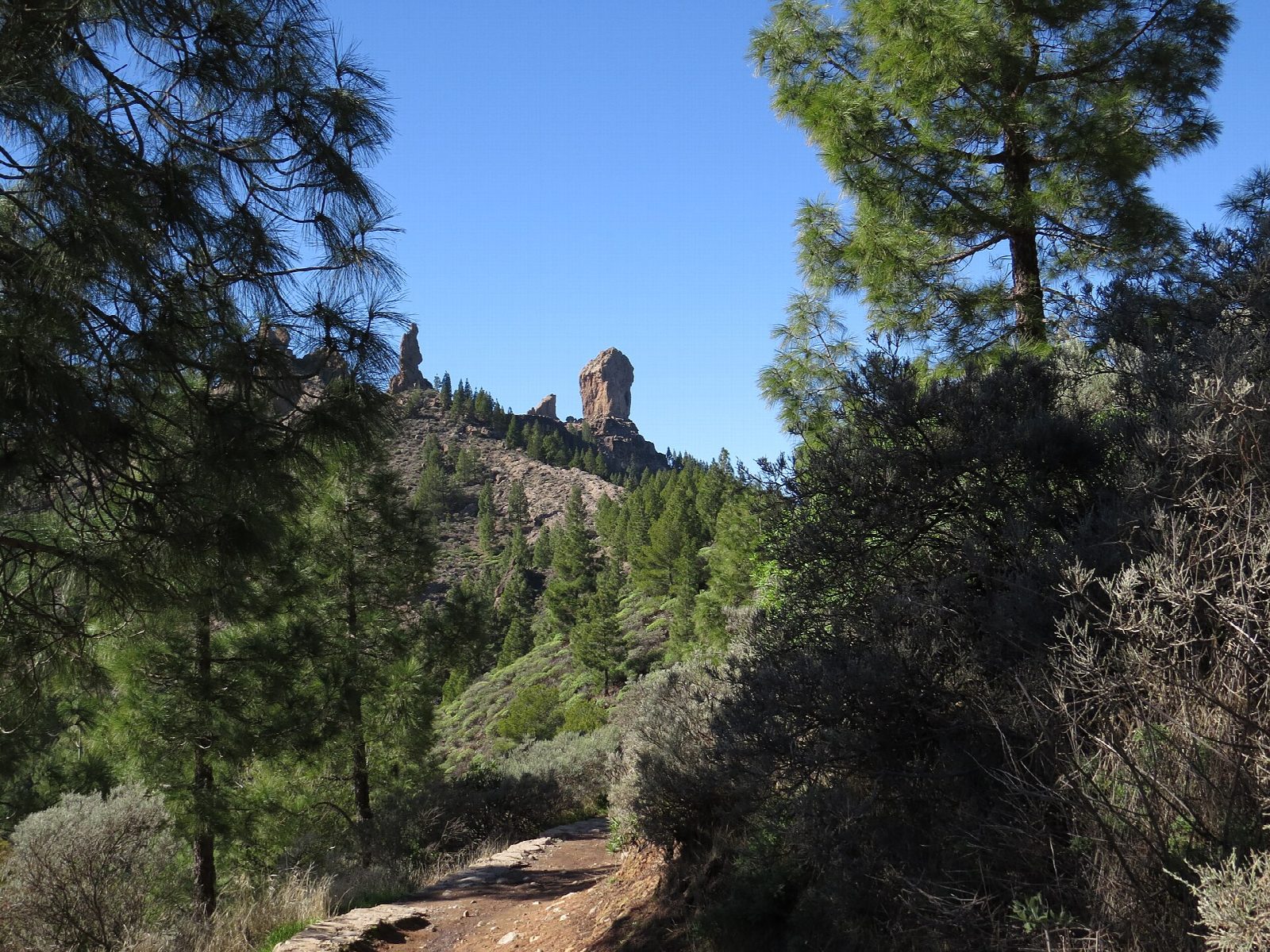
From the Degollada de La Goleta the path climbs through Canary pines, past the spire of El Fraile, to a level shelf of rock, the Tablón del Nublo, and across it to the foot of the Roque Nublo, a monolith about 80 m high, with the smaller Roque de La Rana beside it. Come back off the shelf and take the path that circles the whole mass of rock through the pines, before dropping back to La Goleta.
It is 4.8 km round with 189 m of climbing; allow about 1½ hours. The grade is Easy: a well-worn path, stony and stepped in places.
There is no public parking at La Goleta. Leave the car at Cruz de Los Llanos or in Tejeda and take the shuttle bus, which runs every half hour through the day, or walk up from Cruz de Los Llanos in about 50 minutes.
During the day, roughly from 9 am to 5 pm, a free reservation made online with the island council is needed to start up the path from La Goleta; outside those hours none is needed. At 1,800 m expect wind, cloud and cold in winter and strong sun in summer, and carry water.
Route drawn by Global Adventurer along OpenStreetMap paths (© OpenStreetMap contributors, ODbL), with figures worked out from it. Check the forecast and the ground on the day: paths change.
Good to know
- A monolith about 80 m high on the roof of the island, sacred to the first islanders
- No public parking at La Goleta: park at Cruz de Los Llanos or in Tejeda and take the shuttle bus
- Between 9 am and 5 pm you need a free reservation to start from La Goleta
- Wind, cloud and cold in winter, strong sun in summer, and no water
Summits on the way
- Roque de San José 1,735 m · passed close by
- La Rana 1,773 m · passed close by
- Clouded Rock 1,813 m · passed close by
Getting there
Start: Degollada de La Goleta. 27.96567, -15.60129
Places to stay nearby
Rooms in and around Gran Canaria: Booking.com → Expedia →
Affiliate links: if you book, Global Adventurer earns a small commission at no cost to you.
Paths change, and the weather decides the day. The line and figures come from OpenStreetMap and our own checks; take a map, check the forecast, and turn back if it isn't right.