Line © OpenStreetMap contributors (ODbL), checked by Global Adventurer.
The walk
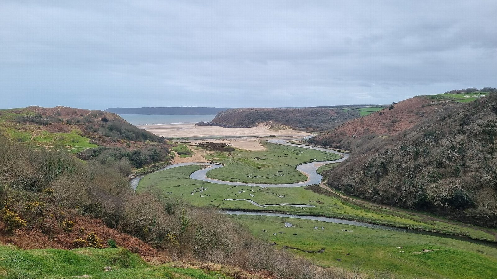
The walk starts from the National Trust car park at West Cliff, Southgate. Follow the cliff top west, with Pobbles Bay below, to the slope above Three Cliffs Bay, where three limestone cliffs, about 20 m high, stand at the mouth of the Pennard Pill. A sandy path drops to the east end of the beach for the view and comes back up. The walk then follows the path along the east side of the valley, above the salt marsh and the winding stream, and climbs through the dunes of Pennard Burrows to the ruin of Pennard Castle on the edge above. From the castle a public footpath runs east to the road at Pennard, and the road leads south through Southgate to the car park.
It is 5.2 km with 109 m of ascent; allow about 1½ hours. The grade is Easy.
The paths down to the bay and up to the castle are loose sand in places and can be hard going. The walk keeps to the east side of the Pennard Pill and does not cross it. The sea comes up the valley at high tide, so check the tide before going far onto the sand. The cliff top is unfenced. About a fifth of the walk is on village roads at the end.
The car park charges.
Route drawn by Global Adventurer along OpenStreetMap paths (© OpenStreetMap contributors, ODbL), with figures worked out from it. Check the forecast and the ground on the day: paths change.
Good to know
- Three limestone pinnacles stand at the mouth of the Pennard Pill
- Pennard Castle, a ruin above the valley, dates from the twelfth century
- Along the cliff top from Southgate, with views over Three Cliffs Bay
- The valley floor is sand, salt marsh and the winding stream of the Pill
Summits on the way
- Cromen · passed close by
Getting there
Start: Southgate National Trust car park · Pay and display. 51.56690, -4.08752
Places to stay nearby
Rooms in and around Gowerton: Booking.com → Expedia →
Affiliate links: if you book, Global Adventurer earns a small commission at no cost to you.
Paths change, and the weather decides the day. The line and figures come from OpenStreetMap and our own checks; take a map, check the forecast, and turn back if it isn't right.