Line © OpenStreetMap contributors (ODbL), checked by Global Adventurer.
The walk
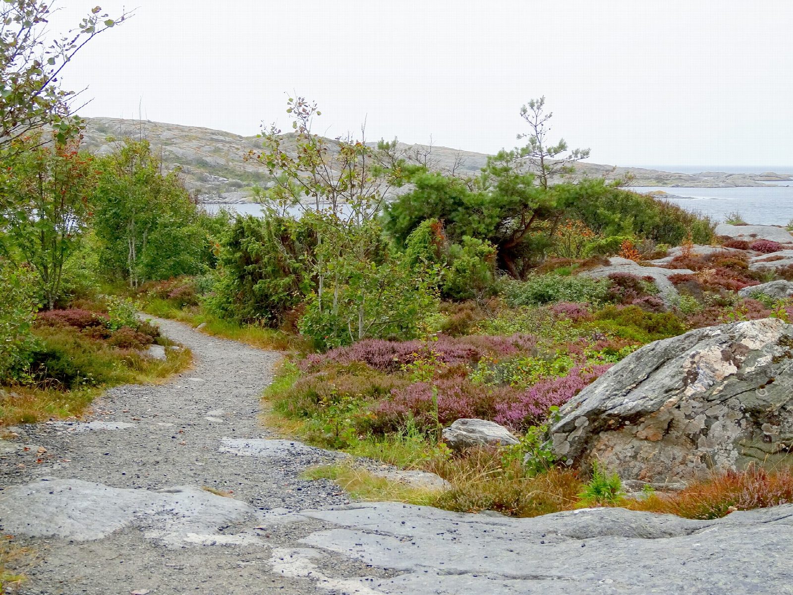
From the ferry pier at Mittvik, on the east side of Vrångö, walk through the car-free village to the north end of the harbour and follow Tärnstigen along the west coast, with Vinga lighthouse out to sea. At the junction keep left on the northern loop, through scrub and woodland in the nature reserve and past bathing coves, to the old cemetery, and return through the village to the pier. Then take the southern loop: south towards Nötholmen, over the open heather and rock of the southern heath, and back to the pier.
It is 8.3 km round with 32 m of ascent; allow about 2 hours. The grade is Easy: island lanes, paths and bare rock, with almost no climbing.
The walks are in the Vrångöskärgården nature reserve: dogs must be on a lead, camping is not allowed and fires only at the marked places. Seals and birds have protected areas with landing bans in parts of the archipelago.
Archipelago boats run from Saltholmen, at the end of the tram line in Gothenburg, to Mittvik on Vrångö.
Route drawn by Global Adventurer along OpenStreetMap paths (© OpenStreetMap contributors, ODbL), with figures worked out from it. Check the forecast and the ground on the day: paths change.
Good to know
- Vrångö is the southernmost inhabited island of the Gothenburg archipelago; there are no cars
- Its northern loop follows Tärnstigen along the west coast, with Vinga lighthouse out to sea, and goes on past bathing coves in the nature reserve
- The southern loop crosses open heather and rock towards Nötholmen
- Archipelago boats run from Saltholmen, at the end of the tram line, to Mittvik on the island's east side
Getting there
Start: Vrångö ferry pier. 57.57033, 11.79191
Places to stay nearby
Rooms in and around Gothenburg: Booking.com → Expedia →
Affiliate links: if you book, Global Adventurer earns a small commission at no cost to you.
Paths change, and the weather decides the day. The line and figures come from OpenStreetMap and our own checks; take a map, check the forecast, and turn back if it isn't right.