Line © OpenStreetMap contributors (ODbL), checked by Global Adventurer.
The walk
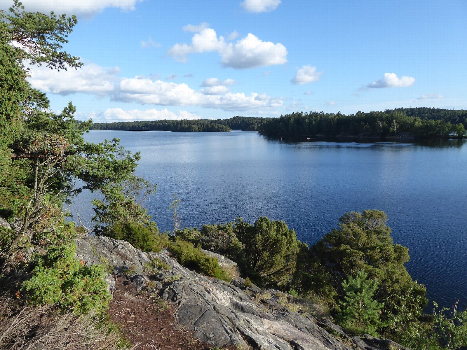
From the car park above Delsjöbadet, the bathing place at the north-west corner of Stora Delsjön, follow the shore paths anticlockwise. Västra Sjöslingan runs down the west side of the lake and Södra Sjöslingan along the south, to the south-east end. Delsjönässtigen leads north along the east side, and Kapten Bertilssons väg and the paths along the north shore bring you back to Delsjöbadet.
It is 7.8 km round with 84 m of ascent; allow about 2 hours. The grade is Easy: broad paths and tracks, some stretches lit, with gentle ups and downs.
The Delsjö lakes are part of Gothenburg's water supply, so tents, caravans and motorboats are not allowed, and fires only at the marked places. The reserve covers 760 hectares and is one of the most visited places near the city. There is a café north-east of the lake.
There is parking at Delsjöbadet. Trams and buses stop round the edge of the reserve, at Töpelgatan, Delsjömotet and Kallebäck among others.
Route drawn by Global Adventurer along OpenStreetMap paths (© OpenStreetMap contributors, ODbL), with figures worked out from it. Check the forecast and the ground on the day: paths change.
Good to know
- Stora Delsjön is the larger of the Delsjö lakes in a 760-hectare nature reserve on the east edge of Gothenburg
- Länsstyrelsen calls the walk round the lake an easy 7.5 km; some stretches are lit
- The lakes are part of the city's water supply: no tents, caravans or motorboats
- Trams and buses stop at the edge of the reserve, at Töpelgatan and Delsjömotet among others
Getting there
Start: Delsjöbadet car park · Pay and display. 57.69172, 12.03369
Places to stay nearby
Rooms in and around Gothenburg: Booking.com → Expedia →
Affiliate links: if you book, Global Adventurer earns a small commission at no cost to you.
Paths change, and the weather decides the day. The line and figures come from OpenStreetMap and our own checks; take a map, check the forecast, and turn back if it isn't right.