Line © OpenStreetMap contributors (ODbL), checked by Global Adventurer.
The walk
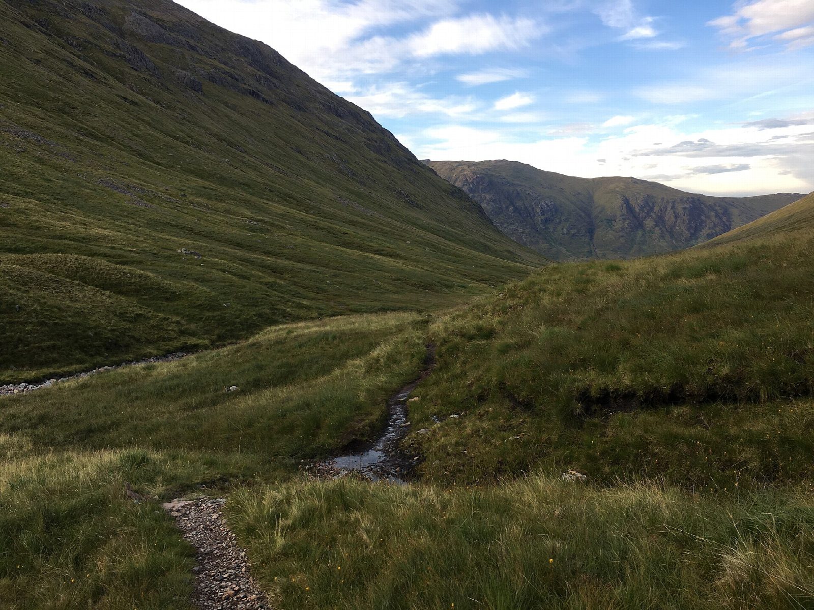
The walk starts from the small car park on the A82 opposite the Beehive cairn. The National Trust for Scotland path heads up the Lairig Eilde, crossing its burn on stepping stones, to the top of the pass. Beyond, the path drops steeply towards Glen Etive and through a fenced area of new woodland. Near the foot it turns east on a made path and climbs again into the Lairig Gartain, between the two Buachailles, and follows the River Coupall down to the A82. The last stretch goes west on the line of the old military road through Glen Coe, back to the start.
It is 13.6 km with 473 m of ascent; allow about 4¾ hours. The grade is Moderate: a long walk on good hill paths, with two climbs of a few hundred metres.
There are several unbridged burns, which can be impossible to cross in spate. The far end of the Lairig Gartain is boggy, and the old military road is often waterlogged; part of the return runs beside the busy A82. Both passes top out at the same height, about 490 m.
Parking is free. Citylink buses stop at the Kings House, about 8 km east.
Route drawn by Global Adventurer along OpenStreetMap paths (© OpenStreetMap contributors, ODbL), with figures worked out from it. Check the forecast and the ground on the day: paths change.
Good to know
- A round of Buachaille Etive Beag through the Lairig Eilde and the Lairig Gartain
- Several unbridged burns that can be impassable in spate
Getting there
Start: Car park opposite the Beehive cairn, Glen Coe · Free parking. 56.66273, -4.95825
Places to stay nearby
Rooms in and around Car park opposite the Beehive cairn: Booking.com → Expedia →
Affiliate links: if you book, Global Adventurer earns a small commission at no cost to you.
Paths change, and the weather decides the day. The line and figures come from OpenStreetMap and our own checks; take a map, check the forecast, and turn back if it isn't right.