Line © OpenStreetMap contributors (ODbL), checked by Global Adventurer.
The walk
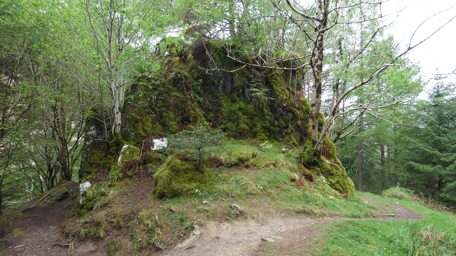
The walk starts from the An Torr car park on the north side of the A82, on the site of the old National Trust for Scotland visitor centre. A path leads to a bridge over the River Coe, with Bidean nam Bian behind, and climbs into the woods. Waymarked paths lead through the trees to Signal Rock, which is climbed by steps round the back. The route returns to a junction and makes a loop round An Torr, through the woods past viewpoints over the glen, before dropping back over the river to the car park.
It is 2.6 km with 99 m of ascent; allow about 1 hour. The grade is Easy: short, on good paths, partly waymarked, with some ups and downs.
Signal Rock is where the chief of the Glencoe MacDonalds is said to have addressed his clan, and legend makes it the place from which the signal was given to start the massacre of 1692. The trees now hide most of the view from the top. There are several junctions in the woods, so look out for the waymarkers.
Parking is free. Citylink buses between Glasgow and Fort William run along the A82.
Route drawn by Global Adventurer along OpenStreetMap paths (© OpenStreetMap contributors, ODbL), with figures worked out from it. Check the forecast and the ground on the day: paths change.
Good to know
- Signal Rock is said to be where the signal was given for the Glencoe Massacre of 1692
- Woodland paths at the site of the former National Trust for Scotland visitor centre
Getting there
Start: An Torr car park · Free parking. 56.66195, -5.05645
Places to stay nearby
Rooms in and around Fort William: Booking.com → Expedia →
Affiliate links: if you book, Global Adventurer earns a small commission at no cost to you.
Paths change, and the weather decides the day. The line and figures come from OpenStreetMap and our own checks; take a map, check the forecast, and turn back if it isn't right.