Line © OpenStreetMap contributors (ODbL), checked by Global Adventurer.
The walk
The walk starts from a small car park on a forest track off the minor road from the Bridge of Coe towards the Clachaig Inn. It follows the road a short way, then a track uphill and a path over a footbridge across the hillside. The path climbs beside a gorge, then zigzags up the open slope with views back over Glencoe village to the Ballachulish bridge. It reaches the col below the Pap, where the going turns rocky, and climbs round the back of the cone to the summit cairn. The return is the same way.
It is 6.4 km with 708 m of ascent; allow about 4½ hours. The grade is Moderate, but it is a steady, steep climb all the way.
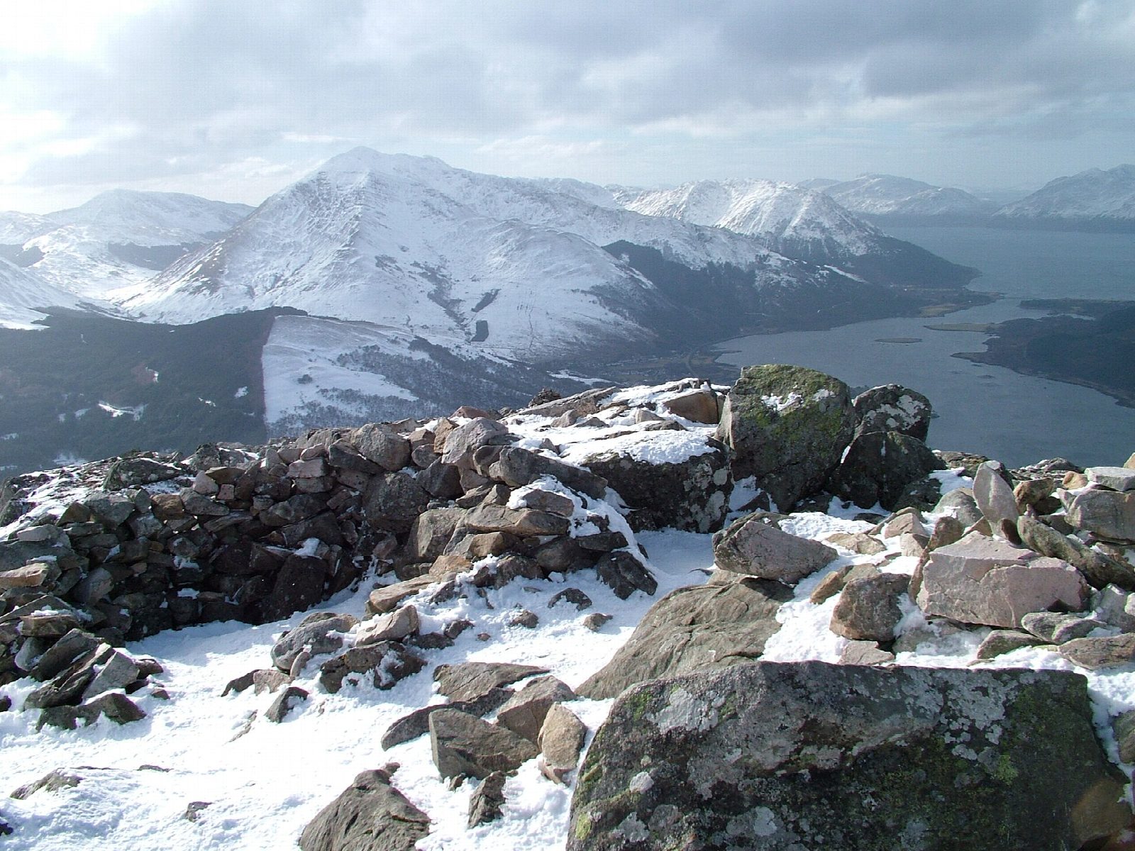
The path is badly eroded and boggy in places on the lower slopes. The final cone is bouldery; there are rocks to step round, but no real scrambling on the usual line. In mist take care to come down by the same path, as other paths from the col lead towards the Aonach Eagach. The summit looks along Loch Leven to the Mamores and down to Ballachulish.
Parking is free. Buses from Fort William stop in Glencoe village.
Route drawn by Global Adventurer along OpenStreetMap paths (© OpenStreetMap contributors, ODbL), with figures worked out from it. Check the forecast and the ground on the day: paths change.
Good to know
- Sgòrr na Cìche, the Pap of Glencoe, rises above Glencoe village and Loch Leven
- The final rocky cone needs care and a little use of hands
Summits on the way
- Pap of Glencoe 742 m
Getting there
Start: Forest track car park, Glencoe · Free parking. 56.68231, -5.09140
Places to stay nearby
Rooms in and around Forest track car park: Booking.com → Expedia →
Affiliate links: if you book, Global Adventurer earns a small commission at no cost to you.
Paths change, and the weather decides the day. The line and figures come from OpenStreetMap and our own checks; take a map, check the forecast, and turn back if it isn't right.
