Line © OpenStreetMap contributors (ODbL), checked by Global Adventurer.
The walk
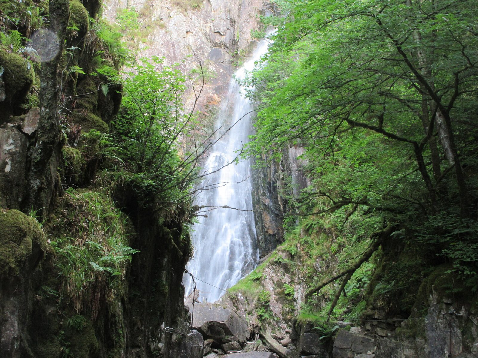
The walk starts from the car park by St Paul's Church in Kinlochleven, signed for the Grey Mare's Tail. A gravel path winds up through the woods to a footbridge, and a short detour leads to the foot of the waterfall. Back at the bridge, the path follows the burn, then climbs steeply and roughly before easing onto a grassy hillside with views down Loch Leven to the Pap of Glencoe. It meets the tarmac road just below the former Mamore Lodge hotel. The road leads down towards the west to where the West Highland Way crosses it, and the Way leads down through the trees to the edge of the village and back to the start.
It is 3.5 km with 195 m of ascent; allow about 1½ hours. The grade is Easy, though the climb after the waterfall is steep, rough and eroded.
The Grey Mare's Tail falls about 50 m in a single leap and is best after rain. Kinlochleven grew up around an aluminium smelter powered by hydro-electricity, which closed in 2000. About two-fifths of the walk is on roads in the village and on the lodge road.
Parking is free. Buses run to Kinlochleven from Fort William.
Route drawn by Global Adventurer along OpenStreetMap paths (© OpenStreetMap contributors, ODbL), with figures worked out from it. Check the forecast and the ground on the day: paths change.
Good to know
- The Grey Mare's Tail falls in one leap of almost fifty metres
- Kinlochleven grew up around an aluminium smelter that closed in 2000
Getting there
Start: Grey Mare's Tail car park, Kinlochleven. 56.71672, -4.96268
Places to stay nearby
Rooms in and around Grey Mare's Tail car park: Booking.com → Expedia →
Affiliate links: if you book, Global Adventurer earns a small commission at no cost to you.
Paths change, and the weather decides the day. The line and figures come from OpenStreetMap and our own checks; take a map, check the forecast, and turn back if it isn't right.