Line © OpenStreetMap contributors (ODbL), checked by Global Adventurer.
The walk
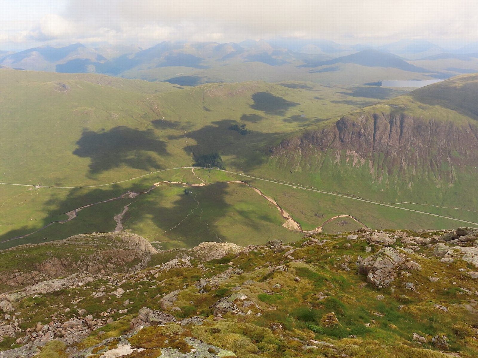
The walk starts from the car park at Altnafeadh and goes out and back. The path crosses the river, passes the Lagangarbh hut and climbs Coire na Tulaich, the walkers' way up, to the ridge; you then turn east over rough ground to the summit, Stob Dearg (1,021 m). It is rough mountain path most of the way.
It is 6.9 km with 748 m of ascent; allow about 5 hours. The grade is Hard because the top of Coire na Tulaich is steep, loose scree that the map does not show. Take care there, especially in descent.
The summit stands above big cliffs, and in mist it is easy to go wrong on the descent: use map and compass to find the top of the corrie before heading down, check the forecast and use your judgement. In winter the corrie is prone to avalanches. There are no mapped water sources on the route. Lagangarbh is a private club hut, not an open shelter.
Altnafeadh is on the A82 at the eastern end of Glen Coe, where the West Highland Way climbs the Devil's Staircase.
Route drawn by Global Adventurer along OpenStreetMap paths (© OpenStreetMap contributors, ODbL), with figures worked out from it. Check the forecast and the ground on the day: paths change.
Good to know
- The great pyramid at the head of Glen Coe
- Coire na Tulaich is the walkers' way up; the top of the corrie is steep scree
- The summit is Stob Dearg
Summits on the way
- Buachaille Etive Mor - Stob Dearg 1,021 m
Getting there
Start: Altnafeadh. 56.66462, -4.90371
Places to stay nearby
Rooms in and around Glen Coe: Booking.com → Expedia →
Affiliate links: if you book, Global Adventurer earns a small commission at no cost to you.
Paths change, and the weather decides the day. The line and figures come from OpenStreetMap and our own checks; take a map, check the forecast, and turn back if it isn't right.