Line © OpenStreetMap contributors (ODbL), checked by Global Adventurer.
The walk
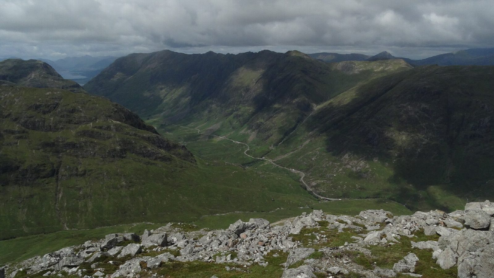
The walk starts from the small car park on the A82 opposite the Beehive cairn. A path built by the National Trust for Scotland heads into the Lairig Eilde, then forks left and climbs, with rocky steps higher up, to the Màm Buidhe, the bealach in the middle of the ridge. It goes first up the steep, rocky slope to Stob Coire Raineach, with its view down Glen Coe, back to the bealach, then along the narrowing ridge to Stob Dubh, the higher top, looking down Loch Etive. The way back is the same, from Stob Dubh to the bealach and down the built path.
It is 8.5 km with 943 m of ascent; allow about 6 hours. The grade is Hard: steep and rocky, with a narrow section of ridge before Stob Dubh.
In poor visibility take care to find the built path again at the bealach: other paths lead onto steep crags on the western slopes. The ridge is exposed to the weather, and in winter this is serious mountain ground. The hill is National Trust for Scotland land, with no stalking restrictions.
Parking is free. Citylink buses stop at the Kings House, about 8 km east.
Route drawn by Global Adventurer along OpenStreetMap paths (© OpenStreetMap contributors, ODbL), with figures worked out from it. Check the forecast and the ground on the day: paths change.
Good to know
- Buachaille Etive Beag is the 'little herdsman of Etive', with two Munros: Stob Coire Raineach and Stob Dubh
- A path built by the National Trust for Scotland climbs to the Màm Buidhe bealach
- National Trust for Scotland land: no stalking restrictions
Summits on the way
- Buachaille Etive Beag - Stob Coire Raineach 925 m
- Stob Dubh North Top 902 m · passed close by
- Buachaille Etive Beag - Stob Dubh 957 m
Getting there
Start: Car park opposite the Beehive cairn, Glen Coe · Free parking. 56.66273, -4.95825
Places to stay nearby
Rooms in and around Car park opposite the Beehive cairn: Booking.com → Expedia →
Affiliate links: if you book, Global Adventurer earns a small commission at no cost to you.
Paths change, and the weather decides the day. The line and figures come from OpenStreetMap and our own checks; take a map, check the forecast, and turn back if it isn't right.