Line © OpenStreetMap contributors (ODbL), checked by Global Adventurer.
The walk
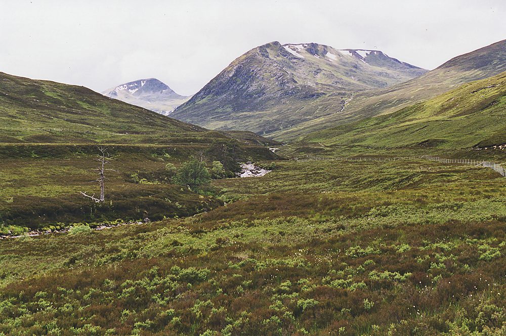
From the car park east of Chisholm Bridge, a path joins a hydro track running north up the east bank into Gleann nam Fiadh. Past the intake it narrows to a boggy path. Once over the Allt Toll Easa, a stalkers' path follows the burn uphill; bear left up the steeper, rockier but easy ridge of Creag na h-Inghinn to the big cairn on Tom a' Choinich (1,113 m). A path drops down the rocky east ridge to the Bealach Toll Easa, then climbs gently over mossy ground to Toll Creagach (1,054 m). The return is back to the bealach and down the path beside the Allt Toll Easa.
It is 20.0 km with 1,141 m of ascent; allow about 8½ hours. The grade is Strenuous: a long day with over 1,000 m of climbing on rough paths.
Walkhighlands warns that the Allt a' Choire Odhair and the Allt Toll Easa may be impassable in spate, and that parts of the upper slopes are pathless and mossy. The tops are exposed: carry a map and compass. Heading for the Scottish Hills lists the approach up lower Gleann nam Fiadh and the land south of the ridge as Forestry and Land Scotland ground with no stalking issues.
Walkhighlands describes the car park east of Chisholm Bridge as charging. There is no public transport to the start.
Route drawn by Global Adventurer along OpenStreetMap paths (© OpenStreetMap contributors, ODbL), with figures worked out from it. Check the forecast and the ground on the day: paths change.
Good to know
- The most easily reached Munros from Glen Affric
- Toll Creagach is a rounded, mossy hill; Tom a' Choinich is a more shapely peak with rocky ridges
- From the tops, views north over Loch Mullardoch and west to Càrn Eige
Summits on the way
- Tom a' Choinnich [Tom a' Choinich] 1,113 m
- Toll Creagach West Top 951 m · passed close by
- Toll Creagach 1,054 m
Getting there
Start: Chisholm Bridge car park, Glen Affric. 57.27446, -4.95908
Places to stay nearby
Rooms in and around Chisholm Bridge car park: Booking.com → Expedia →
Affiliate links: if you book, Global Adventurer earns a small commission at no cost to you.
Paths change, and the weather decides the day. The line and figures come from OpenStreetMap and our own checks; take a map, check the forecast, and turn back if it isn't right.