Line © OpenStreetMap contributors (ODbL), checked by Global Adventurer.
The hike
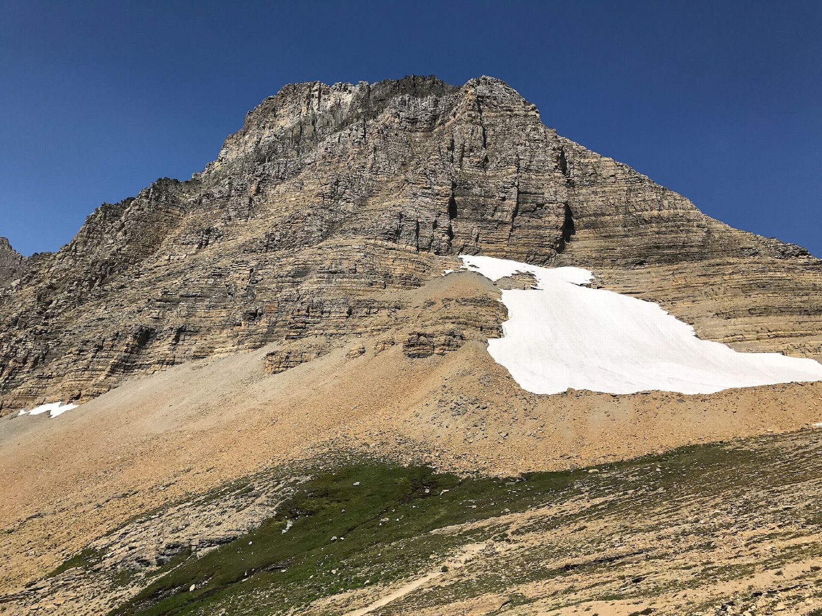
The walk starts at Siyeh Bend, a sharp bend on Going-to-the-Sun Road about 2 miles east of Logan Pass. The trail climbs through spruce and fir forest to the Piegan Pass Trail, then turns into Preston Park, a string of wildflower meadows. Beyond Siyeh Creek, switchbacks climb to Siyeh Pass, a saddle between Mount Siyeh and Matahpi Peak, and on to the trail's high point at about 8,100 feet. Return the same way.
It is 9.3 miles (15.0 km) round trip with 2,210 feet (675 m) of climbing; allow about 5½ hours. The grade is Hard: a long climb, steepest in the switchbacks above the trees.
Above Preston Park the trail is open to wind, cold and storms, and snow can linger near the pass into July. Bears use Preston Park: carry bear spray, hike in a group and make noise. Siyeh Bend is on the alpine section of Going-to-the-Sun Road, which usually closes for the winter by the third Monday in October, or sooner if it snows.
With a car at each end, you can carry on over the pass and down Baring Creek to Sunrift Gorge, also on Going-to-the-Sun Road, 5.6 miles beyond the top.
Route drawn by Global Adventurer along OpenStreetMap paths (© OpenStreetMap contributors, ODbL), with figures worked out from it. Check the forecast and the ground on the day: paths change.
Good to know
- Up through the wildflower meadows of Preston Park to a pass under Mount Siyeh
- Walkers with two cars often go on down to Sunrift Gorge; this is the there-and-back
- Grizzly country: carry bear spray; snow can linger on the pass into July
Getting there
Start: Siyeh Bend. 48.70135, -113.66719
Places to stay nearby
Rooms in and around Glacier National Park: Booking.com → Expedia →
Affiliate links: if you book, Global Adventurer earns a small commission at no cost to you.
Paths change, and the weather decides the day. The line and figures come from OpenStreetMap and our own checks; take a map, check the forecast, and turn back if it isn't right.

