Line © OpenStreetMap contributors (ODbL), checked by Global Adventurer.
The hike
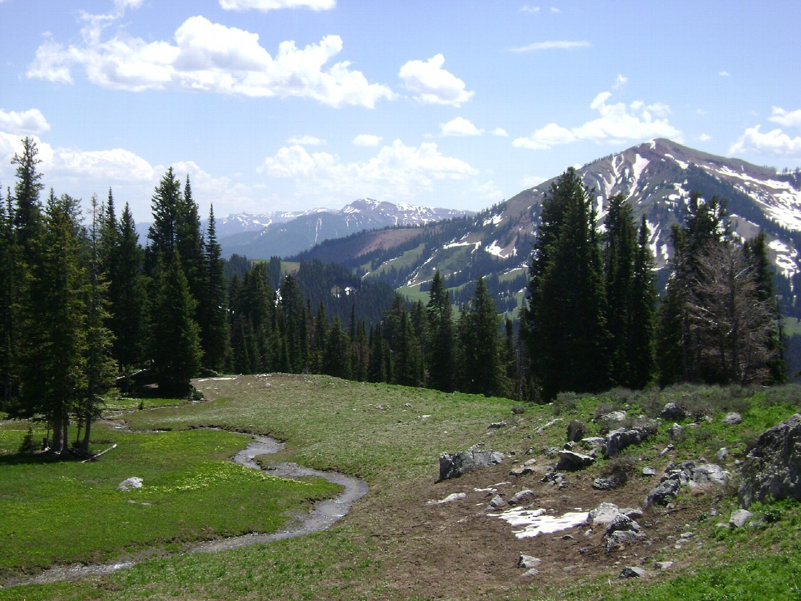
The walk starts at Logan Pass, where the Highline Trail leaves Going-to-the-Sun Road opposite the Continental Divide sign. It soon crosses a narrow ledge cut into the Garden Wall, with a hand cable, then runs north along the mountainside, over a saddle by Haystack Butte, to the historic Granite Park Chalet. From there the Granite Park Trail drops through forest burned in 2003 to The Loop, a hairpin bend on Going-to-the-Sun Road.
It is 11.7 miles (18.9 km) one way with 1,060 feet (323 m) of climbing and 3,410 feet (1,038 m) of descent; allow about 6½ hours. The grade is Hard: a long day on an exposed trail, ending with a long, steep descent.
Much of the trail is exposed, with steep drop-offs and no shelter from storms. This is grizzly country: carry bear spray, hike in a group and make noise; the park closes the trail at short notice for bear activity, as it did in August 2026. Snow keeps it closed into early summer. The alpine section of Going-to-the-Sun Road usually closes for the winter by the third Monday in October, or sooner if it snows.
From July 1 to September 7, 2026, a Logan Pass shuttle ($1 a seat on Recreation.gov) linked The Loop with Logan Pass; otherwise you need a second car or a lift. Parking at The Loop is limited.
Route drawn by Global Adventurer along OpenStreetMap paths (© OpenStreetMap contributors, ODbL), with figures worked out from it. Check the forecast and the ground on the day: paths change.
Good to know
- Along a ledge cut into the Garden Wall high above the road, with a hand cable at the start
- Past Granite Park Chalet, then a long descent through burned forest to The Loop
- One way: in summer a ticketed park shuttle has linked The Loop with Logan Pass
Getting there
Start: Logan Pass · Free parking. 48.69569, -113.71679
Places to stay nearby
Rooms in and around Glacier National Park: Booking.com → Expedia →
Affiliate links: if you book, Global Adventurer earns a small commission at no cost to you.
Paths change, and the weather decides the day. The line and figures come from OpenStreetMap and our own checks; take a map, check the forecast, and turn back if it isn't right.


