Line © OpenStreetMap contributors (ODbL), checked by Global Adventurer.
The hike
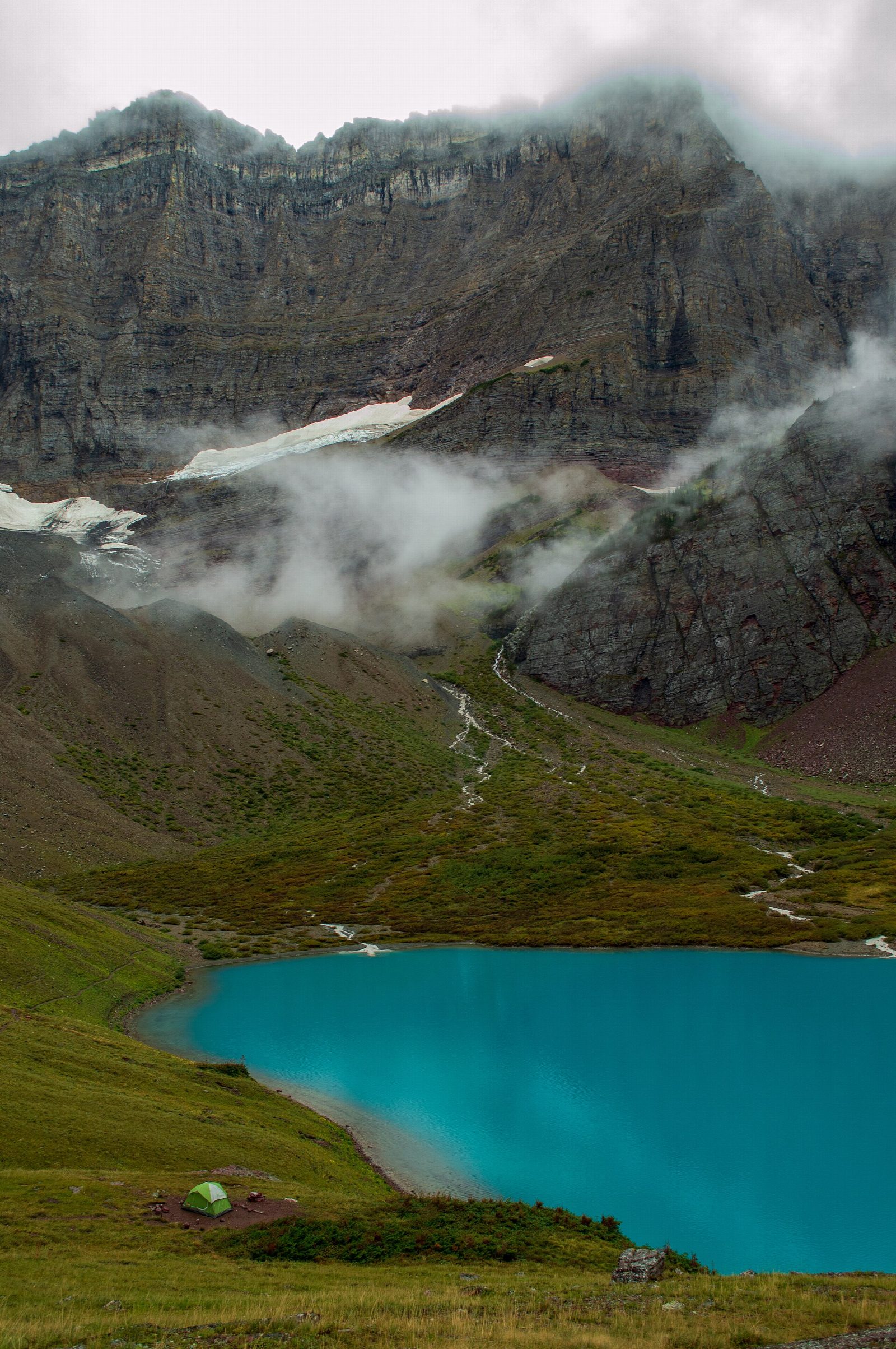
The walk starts at the Cracker Lake Trailhead at the south end of the Many Glacier Hotel parking lot. The trail heads east through forest, then turns south up the Canyon Creek valley, climbing gently for miles to Cracker Lake. Glacial silt colors the lake a milky turquoise, and the north face of Mount Siyeh rises above its far end. Relics of a copper mine opened in the 1890s lie near the lake. Return the same way.
It is 12.4 miles (19.9 km) round trip with 1,220 feet (371 m) of climbing; allow about 6 hours. The grade is Hard: the climb is gentle, but it is a long day.
This is prime grizzly country: carry bear spray, hike in a group and make noise. The park closes Many Glacier trails for bear activity at short notice. From mid-June to mid-September, horse rides from the Many Glacier corral use the first 1.7 miles, which can be muddy or dusty. Keep out of the old mine workings.
Many Glacier Road usually stays open until the third weekend in November, weather permitting.
Route drawn by Global Adventurer along OpenStreetMap paths (© OpenStreetMap contributors, ODbL), with figures worked out from it. Check the forecast and the ground on the day: paths change.
Good to know
- A milky turquoise lake under the huge north wall of Mount Siyeh
- Relics of an 1890s copper mine lie near the head of the lake
- The first miles are shared with horse parties and can be muddy; carry bear spray
Getting there
Start: Cracker Lake Trailhead. 48.79669, -113.65570
Places to stay nearby
Rooms in and around Glacier National Park: Booking.com → Expedia →
Affiliate links: if you book, Global Adventurer earns a small commission at no cost to you.
Paths change, and the weather decides the day. The line and figures come from OpenStreetMap and our own checks; take a map, check the forecast, and turn back if it isn't right.


