Line © OpenStreetMap contributors (ODbL), checked by Global Adventurer.
The hike
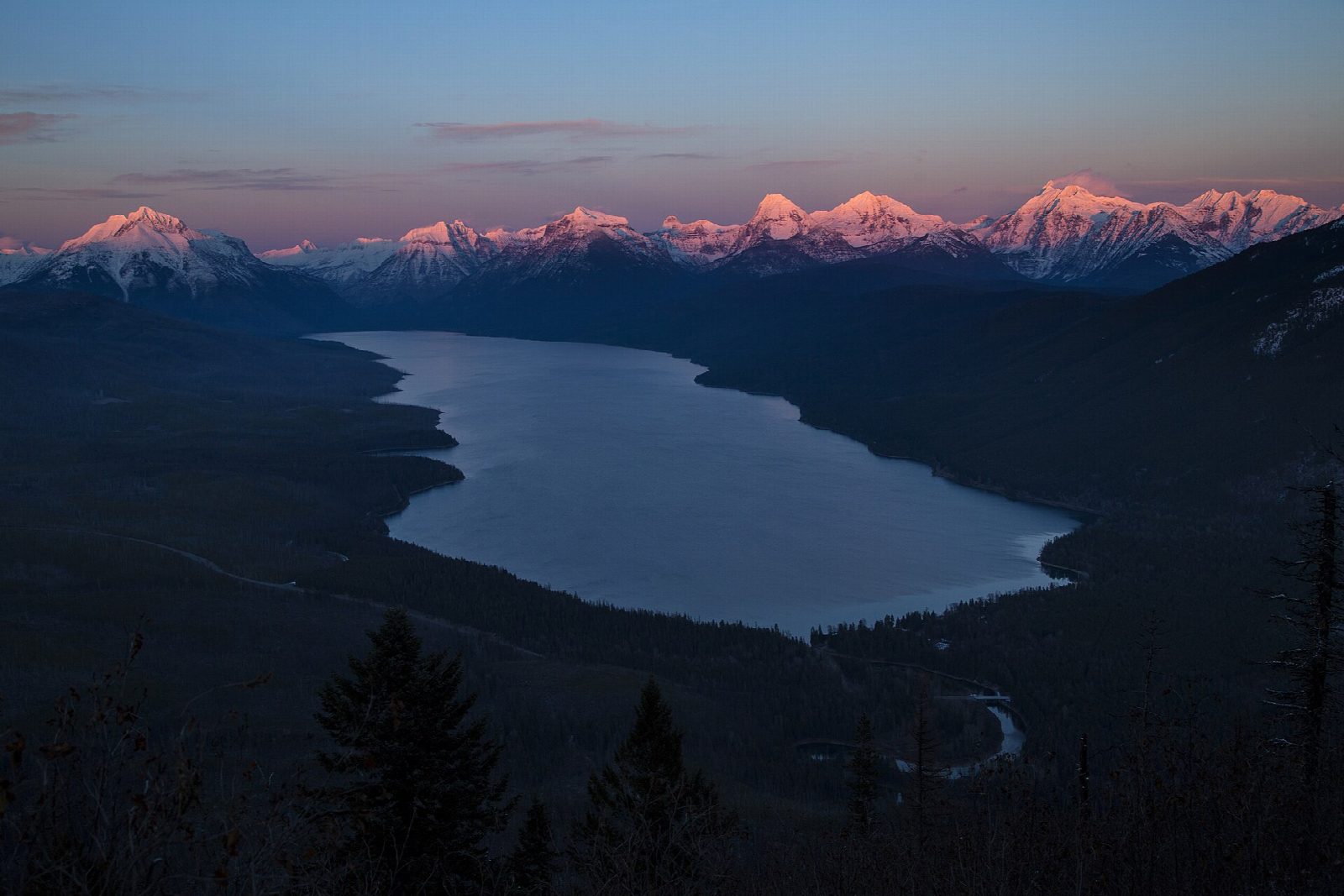
The walk starts at the Apgar Lookout Trailhead. Half a mile north of the West Entrance, turn off onto Quarter Circle Bridge Road; the trailhead is 2.4 miles along it, at the end of a narrow gravel road. The first part of the trail is nearly level, round the foot of Apgar Mountain, and then it climbs in long switchbacks through forest burned in the 2003 Robert Fire. It ends at the Apgar Fire Lookout, which looks along Lake McDonald to the high peaks. The lookout is no longer used and is on the National Register of Historic Places. Return the same way.
It is 7.0 miles (11.3 km) round trip with 1,810 feet (553 m) of climbing; allow about 4½ hours. The grade is Moderate: a long, even climb on a good trail.
Glacier is grizzly and black bear country: carry bear spray and make noise as you go. Much of the forest on the climb burned in 2003, so the switchbacks can be hot on summer afternoons; carry plenty of water. The trail is one of the first in the park with big views to lose its snow in spring.
No vehicle reservation is needed to enter Glacier in 2026.
Route drawn by Global Adventurer along OpenStreetMap paths (© OpenStreetMap contributors, ODbL), with figures worked out from it. Check the forecast and the ground on the day: paths change.
Good to know
- Switchbacks through forest burned in 2003 to a fire lookout above Lake McDonald
- Reached by a narrow gravel road just inside the West Entrance
- Little shade since the fire: hot on summer afternoons, so carry plenty of water
Getting there
Start: Apgar Lookout Trailhead. 48.50433, -114.02093
Places to stay nearby
Rooms in and around Glacier National Park: Booking.com → Expedia →
Affiliate links: if you book, Global Adventurer earns a small commission at no cost to you.
Paths change, and the weather decides the day. The line and figures come from OpenStreetMap and our own checks; take a map, check the forecast, and turn back if it isn't right.