Line © OpenStreetMap contributors (ODbL), checked by Global Adventurer.
The walk
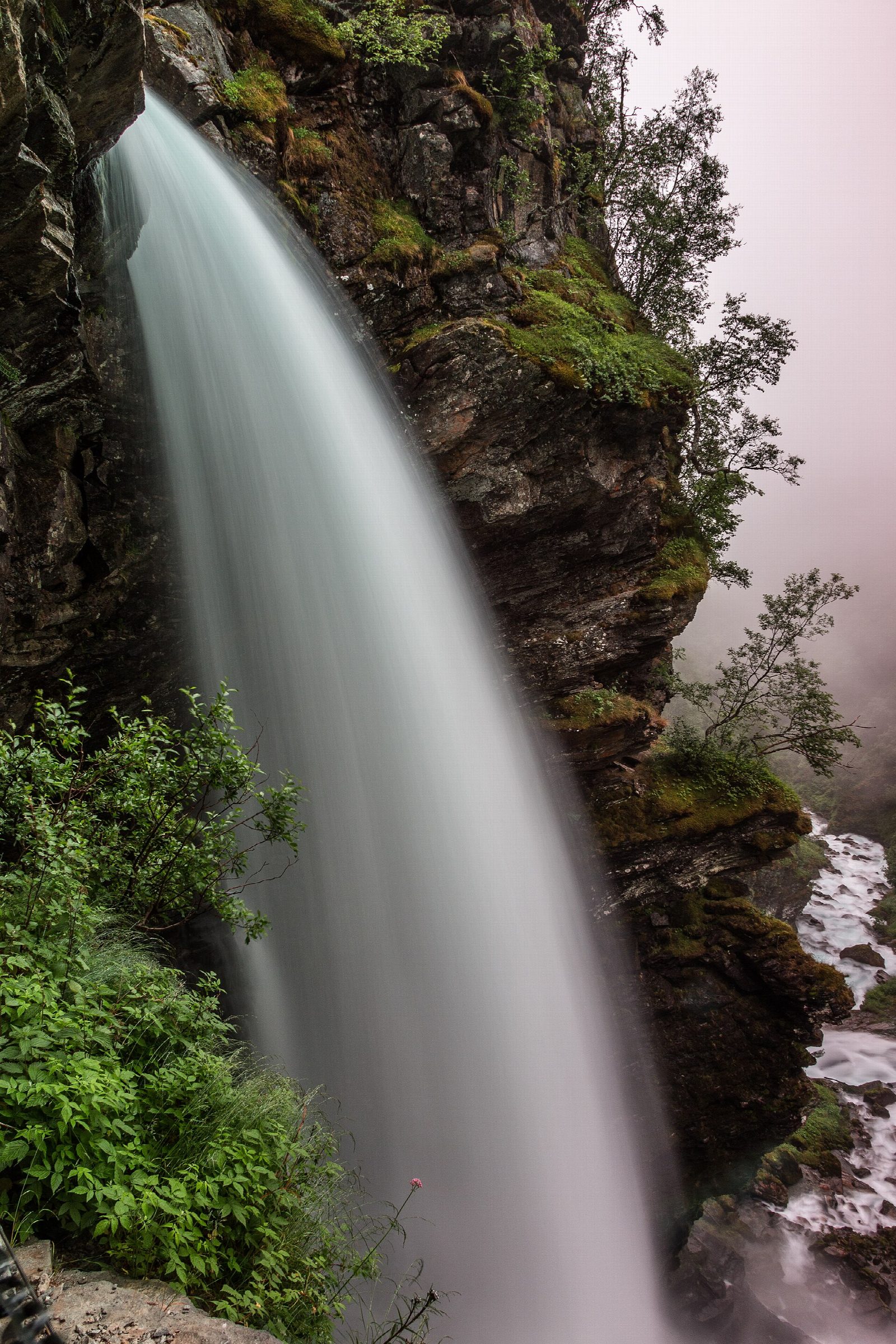
The walk starts at Westerås, a farm on a shelf of the mountainside 320 m above the Geirangerfjord. A clear, signed path, most of it stone steps laid by Sherpas from Nepal, climbs through the woods and up the slope to Storsæterfossen. The path goes in behind the fall, where you stay almost dry and look out through the falling water. Return the same way.
It is 2.6 km there and back with 267 m of ascent; allow about 1½ hours. The grade is Easy: short, but steep in places.
There are two paths from Westerås: one from the farmyard, about 1.5 km and steeper, and one of about 2 km that starts some 50 m before it. The route page on ut.no gives the season as May to October. From below, the fall looks modest; it is from behind it that it impresses.
The car park at Westerås is small and kept for the farm's guests; others may park there for a fee (the route page gives both 100 kr and 200 kr), or park in Geiranger and walk up, which makes the walk longer. The road up is narrow and gravelled, turning off the Geiranger road by Hole Hytteutleige.
Route drawn by Global Adventurer along OpenStreetMap paths (© OpenStreetMap contributors, ODbL), with figures worked out from it. Check the forecast and the ground on the day: paths change.
Good to know
- A path that goes behind the waterfall, where you stay nearly dry
- Most of the path is stone steps laid by Sherpas from Nepal
- Westerås farm stands on a shelf 320 m above the Geirangerfjord
- The small car park at the farm is kept for guests; others pay to park there, or park in Geiranger
Getting there
Start: Westerås · Pay and display. 62.10088, 7.21682
Places to stay nearby
Rooms in and around Geiranger: Booking.com → Expedia →
Affiliate links: if you book, Global Adventurer earns a small commission at no cost to you.
Paths change, and the weather decides the day. The line and figures come from OpenStreetMap and our own checks; take a map, check the forecast, and turn back if it isn't right.