Line © OpenStreetMap contributors (ODbL), checked by Global Adventurer.
The walk
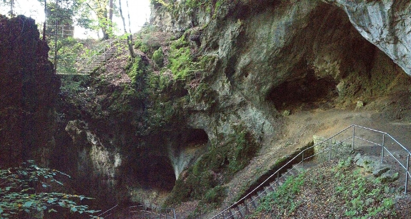
The walk starts from the walkers' car park at Muggendorf station. It climbs to the Oswaldhöhle, a cave about 65 m long that the path walks straight through, and on by steps to the look-out tower on the Hohes Kreuz. Forest paths lead to the Quackenschloss, a roofless rock passage, and the Adlerstein, a tower of rock climbed by an iron ladder. From the village of Engelhardsberg the way drops to the Riesenburg, a collapsed cave whose arches stand above the Wiesent, crosses the river at Doos, and returns by the Aufseß valley, the Kuchenmühle and the hamlet of Albertshof.
It is 14.4 km with 485 m of ascent; allow about 5 hours. The grade is Moderate. About a quarter is on lanes; the rest is forest track and path, steep and slippery in places, with sheer drops beside the rocks.
Bring a torch for the Oswaldhöhle, where the roof is as low as 1.5 m. From 1 October to 31 March the caves may not be entered, to protect bats; the Oswaldhöhle alone may still be walked through, quietly and without a light.
There is nothing to pay on the walk. Bus 389 runs from Ebermannstadt, which has trains from Forchheim.
Route drawn by Global Adventurer along OpenStreetMap paths (© OpenStreetMap contributors, ODbL), with figures worked out from it. Check the forecast and the ground on the day: paths change.
Good to know
- The Oswaldhöhle is a cave about 65 m long that the path walks straight through: bring a torch
- The Adlerstein is a rock tower with an iron ladder to the top
- The Riesenburg is a collapsed cave with natural rock arches above the Wiesent
- From 1 October to 31 March the caves are closed to protect bats; only the Oswaldhöhle may be walked through, quietly
Summits on the way
- Hohler Berg 522 m · passed close by
Getting there
Start: Muggendorf station car park · Pay and display. 49.80430, 11.25685
Places to stay nearby
Rooms in and around Franconian Switzerland: Booking.com → Expedia →
Affiliate links: if you book, Global Adventurer earns a small commission at no cost to you.
Paths change, and the weather decides the day. The line and figures come from OpenStreetMap and our own checks; take a map, check the forecast, and turn back if it isn't right.