Line © OpenStreetMap contributors (ODbL), checked by Global Adventurer.
The walk
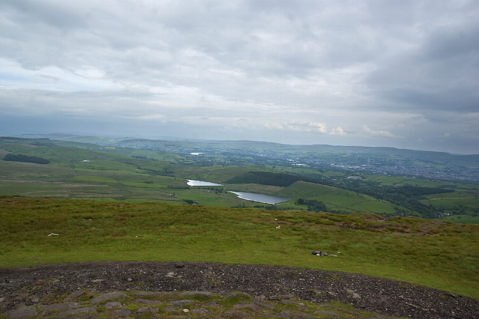
From the car park in Barley the walk follows the track west past Lower Ogden Reservoir to Upper Ogden Reservoir, then climbs north up the moor by Ogden Clough to the summit of Pendle Hill, the Beacon, at 557 m. The view takes in the Yorkshire Dales, the Forest of Bowland and the coast. The way down heads east across the top and down the steep side of the hill to the farms below, then past the Black Moss reservoirs and back along the lanes to Barley.
It is 7.2 km with 336 m of ascent; allow about 2½ hours. The grade is Easy. The climb is steady on moorland paths; nearly a third is on lanes.
The top of Pendle is open moorland and exposed; in mist it is easy to lose the way. The paths are boggy in places after rain. Sheep graze the hill, so keep dogs on leads. Pendle is famous for the witch trials of 1612 and is very busy around Halloween.
The Barley car park is run by the parish council and is pay and display. The nearest station is Brierfield, about 4 km away.
Route drawn by Global Adventurer along OpenStreetMap paths (© OpenStreetMap contributors, ODbL), with figures worked out from it. Check the forecast and the ground on the day: paths change.
Good to know
- Past the Ogden reservoirs and up Ogden Clough
- Pendle Hill's summit, the Beacon, at 557 m
- Down past the Black Moss reservoirs to Barley
- Pendle is known for the witch trials of 1612
Summits on the way
- Pendle Hill 557 m
Getting there
Start: Barley car park · Pay and display. 53.85887, -2.26996
Places to stay nearby
Rooms in and around Brierfield: Booking.com → Expedia →
Affiliate links: if you book, Global Adventurer earns a small commission at no cost to you.
Paths change, and the weather decides the day. The line and figures come from OpenStreetMap and our own checks; take a map, check the forecast, and turn back if it isn't right.