Line © OpenStreetMap contributors (ODbL), checked by Global Adventurer.
The walk
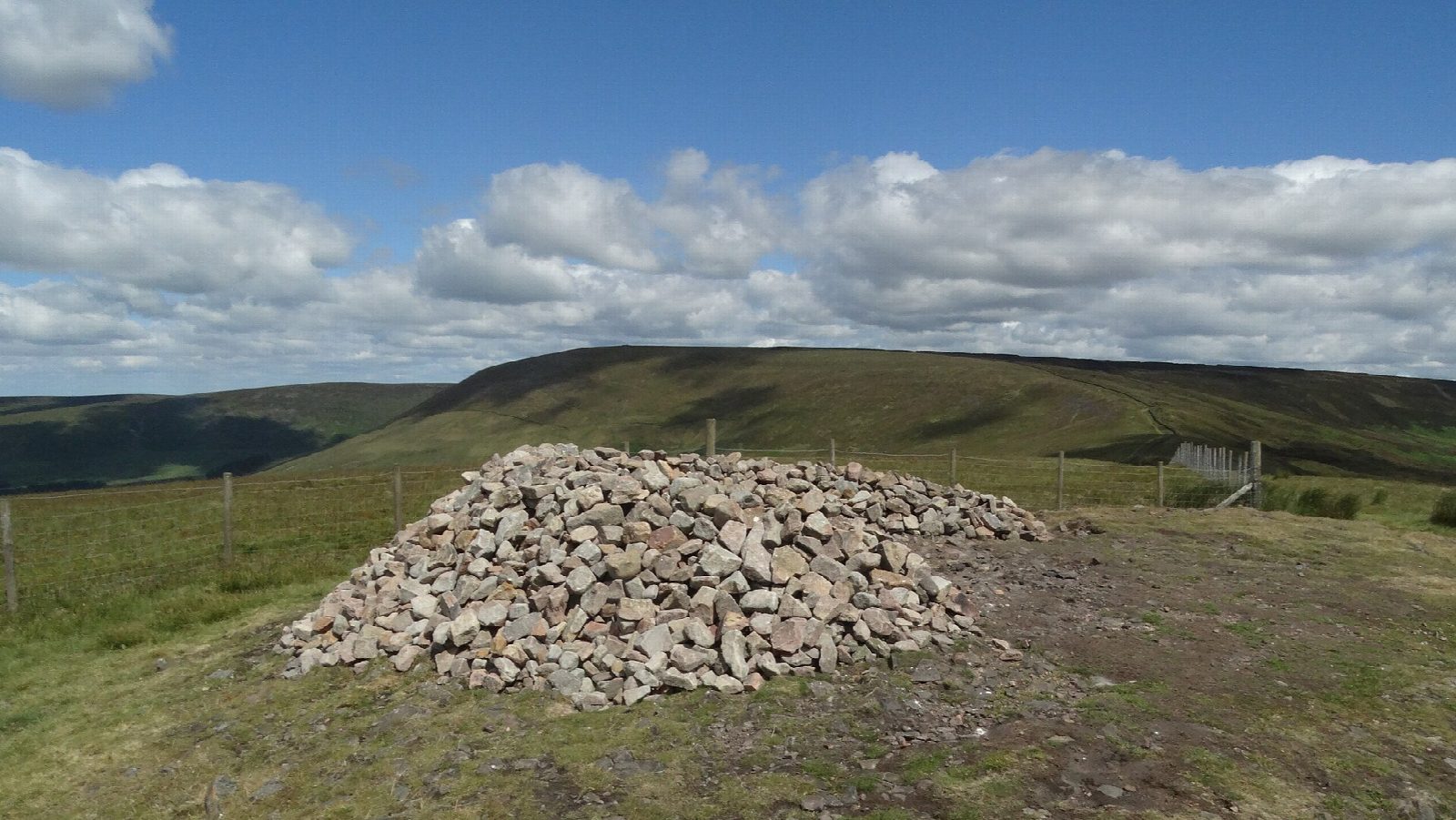
From Fell Foot, at the end of the lane north of Chipping, the walk climbs straight up the steep grassy nose of Parlick, a favourite hill for paragliders. It follows the fence north over Blindhurst Fell to the summit of Fair Snape Fell, then west across the top to Paddy's Pole, the cairn on its western end, with views over the Fylde to the sea. The way down heads south-west past Saddle Fell, crosses a footbridge and returns east across the fields to Fell Foot.
It is 9.2 km with 395 m of ascent; allow about 3½ hours. The grade is Moderate. The climb up Parlick is short but very steep.
The fell top is boggy and featureless in mist, so carry a map. The fells are a working sheep common: keep dogs on short leads. The descent on wet grass can be slippery.
There is no public car park at Fell Foot; park carefully on the verges without blocking gates. There is no station near; the nearest is Clitheroe, about 14 km away.
Route drawn by Global Adventurer along OpenStreetMap paths (© OpenStreetMap contributors, ODbL), with figures worked out from it. Check the forecast and the ground on the day: paths change.
Good to know
- Straight up the steep nose of Parlick
- North along the fence over Blindhurst Fell to Fair Snape Fell and Paddy's Pole
- Down past Saddle Fell and back across the fields to Fell Foot
- Parlick is a popular hill for paragliders
Summits on the way
- Parlick 432 m
- Fair Snape Fell 522 m
- Paddy's Pole 510 m · passed close by
Getting there
Start: Fell Foot, below Parlick · Free parking. 53.89257, -2.60760
Places to stay nearby
Rooms in and around Fell Foot: Booking.com → Expedia →
Affiliate links: if you book, Global Adventurer earns a small commission at no cost to you.
Paths change, and the weather decides the day. The line and figures come from OpenStreetMap and our own checks; take a map, check the forecast, and turn back if it isn't right.