Line © OpenStreetMap contributors (ODbL), checked by Global Adventurer.
The walk
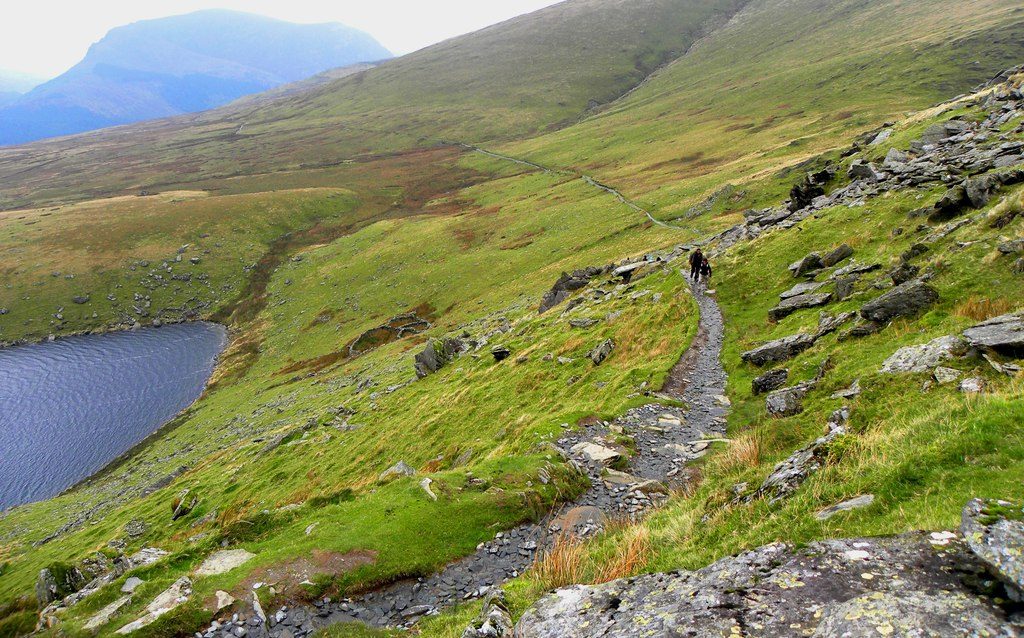
The walk starts from the Llyn Cwellyn car park. Cross the road to the bridleway by the youth hostel, go over the Welsh Highland Railway and zigzag up the pasture above Llwyn Onn. The path then runs round the lower slopes of Moel Cynghorion, past the north end of Llyn Ffynnon-y-gwas, to Bwlch Cwm Brwynog. From there it climbs steep, loose zigzags up the shoulder above the cliffs of Clogwyn Du'r Arddu, crosses the Snowdon Mountain Railway at a standing stone and joins the Llanberis Path at Bwlch Glas for the last stretch to the summit of Yr Wyddfa. The return is the same way.
It is 12.8 km with 928 m of ascent; allow about 6½ hours. The grade is Hard, for the length and the climb.
From Bwlch Cwm Brwynog the path is very steep and loose nearly all the way up. Above Clogwyn Du'r Arddu it is poorly defined, and on the way down the start of the path at the railway crossing is hard to find in mist: take a map and compass. The path is a bridleway, so you may meet mountain bikes. The summit café, Hafod Eryri, opens only in the season and when trains are running.
The car park is pay and display, card only. The Sherpa'r Wyddfa S3 bus from Caernarfon stops at the Snowdon Ranger youth hostel.
Route drawn by Global Adventurer along OpenStreetMap paths (© OpenStreetMap contributors, ODbL), with figures worked out from it. Check the forecast and the ground on the day: paths change.
Good to know
- Named after John Morton, a mountain guide who called himself the Snowdon Ranger and built an inn by Llyn Cwellyn
- Said to be the oldest path up the mountain
- Climbs above Clogwyn Du'r Arddu, the great dark cliff, and crosses the Snowdon Mountain Railway near the top
- A bridleway all the way: mountain bikes may be met
Summits on the way
- Snowdon - Yr Wyddfa 1,085 m
Getting there
Start: Llyn Cwellyn car park · Pay and display. 53.07328, -4.14353
Places to stay nearby
Rooms in and around Roman Bridge: Booking.com → Expedia →
Affiliate links: if you book, Global Adventurer earns a small commission at no cost to you.
Paths change, and the weather decides the day. The line and figures come from OpenStreetMap and our own checks; take a map, check the forecast, and turn back if it isn't right.

