Line © OpenStreetMap contributors (ODbL), checked by Global Adventurer.
The walk
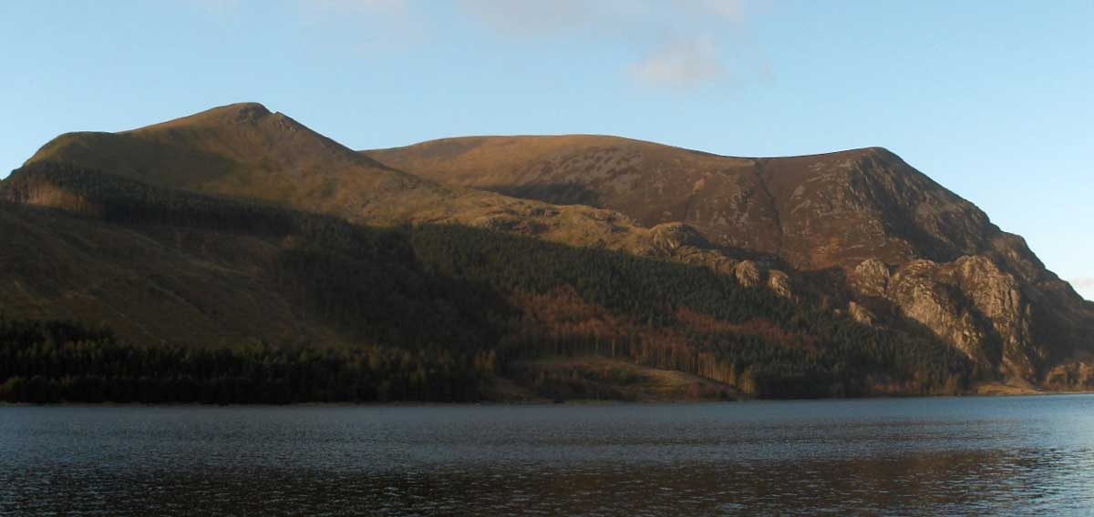
The walk starts from the Rhyd Ddu car park. Walk north through the village and turn left on the B4418 towards Nantlle, then take the forestry road into Beddgelert Forest. A narrow path leaves it up a felled slope to a fence and stile at the edge of the trees. From there the path climbs steeply beside the fence to Foel Rudd. An easier ridge leads on round the southern lip of Cwm Planwydd, with the crags of Craig y Bera falling away close beside the path, to the cairn and wind shelter on the summit of Mynydd Mawr at 698 m. The return is the same way.
It is 10.0 km with 561 m of ascent; allow about 4¼ hours. The grade is Moderate.
The pull up to Foel Rudd is very steep. On the rim the path passes close to the top of the Craig y Bera crags: keep to the path in mist or strong wind. The forest slopes have been felled and the path there can be rough. Felling may close forest tracks at short notice.
The car park is pay and display, card only. Rhyd Ddu has a station on the Welsh Highland Railway and is served by the Sherpa'r Wyddfa S3 bus from Caernarfon.
Route drawn by Global Adventurer along OpenStreetMap paths (© OpenStreetMap contributors, ODbL), with figures worked out from it. Check the forecast and the ground on the day: paths change.
Good to know
- 698 m: the 'big mountain' between Llyn Cwellyn and the Nantlle valley
- From the north its outline is likened to a sleeping elephant
- Up through Beddgelert Forest and steeply onto Foel Rudd
- The path rounds the rim of Cwm Planwydd above the crags of Craig y Bera
Summits on the way
- Foel Rûdd 573 m · passed close by
- Mynydd Mawr 698 m
Getting there
Start: Rhyd Ddu car park · Pay and display. 53.05109, -4.13339
Places to stay nearby
Rooms in and around Porthmadog: Booking.com → Expedia →
Affiliate links: if you book, Global Adventurer earns a small commission at no cost to you.
Paths change, and the weather decides the day. The line and figures come from OpenStreetMap and our own checks; take a map, check the forecast, and turn back if it isn't right.


