Line © OpenStreetMap contributors (ODbL), checked by Global Adventurer.
The walk
The walk starts from the National Park car park in Croesor. It follows the quarry track up the south side of Cwm Croesor to the ruins of Croesor Quarry, passes Llyn Croesor and crosses rough ground to the upper workings of Rhosydd Quarry. From there it climbs to Moel-yr-hydd, turns back west and goes up the north-east ridge of Moelwyn Mawr, at 770 m the highest of the group. The way on is down the rocky ridge of Craigysgafn to Bwlch Stwlan, above the reservoir of Llyn Stwlan, and up to Moelwyn Bach. A clear path runs down its long west ridge to a forest edge and a minor road, which leads back to Croesor.
It is 12.0 km with 842 m of ascent; allow about 6 hours. The grade is Hard, for the length, the climb and the rough, pathless stretches.
The quarry areas have many adits and unfenced chasms: keep to the path and stay out of the workings. Navigation skill is needed, especially in mist: the ground between the quarries is boggy and confusing, and the crags between the two Moelwyns need careful route-finding on loose scree.
The car park is free, with about 20 spaces, and Croesor is reached by narrow single-track lanes.
Route drawn by Global Adventurer along OpenStreetMap paths (© OpenStreetMap contributors, ODbL), with figures worked out from it. Check the forecast and the ground on the day: paths change.
Good to know
- Moelwyn Mawr, 770 m, is the highest of the Moelwynion; Moelwyn Bach is 710 m
- Up by the ruins of the Croesor and Rhosydd slate quarries and over Moel-yr-hydd
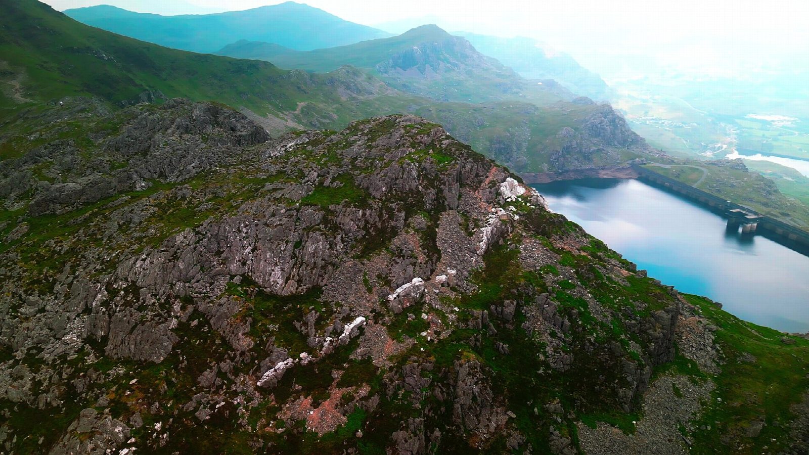
- Craigysgafn, the rocky ridge between the two Moelwyns, drops to Bwlch Stwlan
- Llyn Stwlan below is the upper reservoir of the Ffestiniog pumped-storage power station
Summits on the way
- Moel-yr-hydd 648 m
- Moelwyn Mawr 770 m
- Craigysgafn 689 m · passed close by
- Moelwyn Bach 712 m
Getting there
Start: Croesor car park · Free parking. 52.98199, -4.03974
Places to stay nearby
Rooms in and around Penrhyndeudraeth: Booking.com → Expedia →
Affiliate links: if you book, Global Adventurer earns a small commission at no cost to you.
Paths change, and the weather decides the day. The line and figures come from OpenStreetMap and our own checks; take a map, check the forecast, and turn back if it isn't right.

