Line © OpenStreetMap contributors (ODbL), checked by Global Adventurer.
The walk
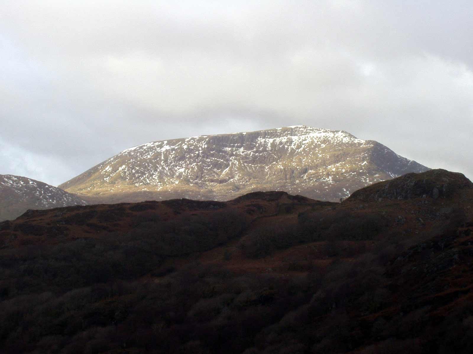
The walk starts from the National Park car park in Beddgelert. A path leads under the Welsh Highland Railway to the farm track at Cwm Cloch. Beyond the last buildings a gate gives onto the open hillside, and the path zigzags up the north-east shoulder of Moel Hebog, marked here and there by stones. It grows steeper and rockier as it climbs, passes several false tops and finishes at the trig point on the summit, 783 m. The return is the same way.
It is 6.8 km with 736 m of ascent; allow about 4¾ hours. The grade is Hard: it is a short walk, but nearly all of it is steep, and the upper part is loose and rocky.
There are a few places near the top where hands are useful, and loose rock on the steepest ground. The path is less obvious than those on Yr Wyddfa, so if you are not used to navigating keep this hill for a clear day.
The car park is pay and display, card only. Beddgelert has a station on the Welsh Highland Railway, and the Sherpa'r Wyddfa buses stop in the village, where there are cafés, pubs and toilets.
Route drawn by Global Adventurer along OpenStreetMap paths (© OpenStreetMap contributors, ODbL), with figures worked out from it. Check the forecast and the ground on the day: paths change.
Good to know
- Moel Hebog, the hill of the hawk, 783 m, stands over Beddgelert
- Climbed by its north-east shoulder from Cwm Cloch
- A cave on neighbouring Moel yr Ogof is linked by tradition with Owain Glyndŵr
- Steep and loose near the top, with places where hands are useful
Summits on the way
- Moel Hebog 784 m
Getting there
Start: Beddgelert car park · Pay and display. 53.01184, -4.10624
Places to stay nearby
Rooms in and around Porthmadog: Booking.com → Expedia →
Affiliate links: if you book, Global Adventurer earns a small commission at no cost to you.
Paths change, and the weather decides the day. The line and figures come from OpenStreetMap and our own checks; take a map, check the forecast, and turn back if it isn't right.


