Line © OpenStreetMap contributors (ODbL), checked by Global Adventurer.
The walk
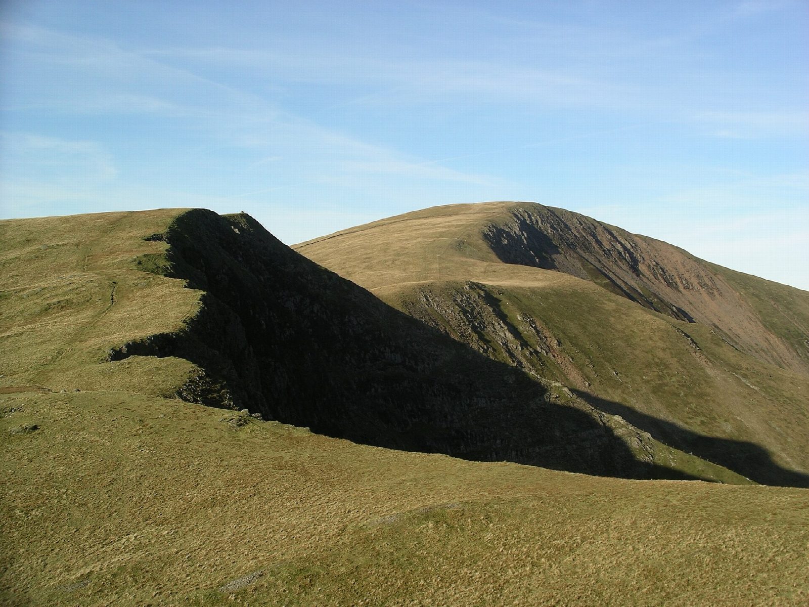
The walk starts from a car park in the middle of Llanberis. It leaves the village by the lanes and a green track to the south-west and climbs the long north-east ridge of Moel Eilio, steep and eroded beside a fence near the top, to the big stone shelter on the summit at 726 m. A broad grassy ridge then runs south over Foel Gron and past the top of Foel Goch, with Llyn Dwythwch below on the left, and falls to the pass of Bwlch Maesgwm. From the pass a bridleway leads down the Maesgwm valley and back by lanes to Llanberis.
It is 12.3 km with 757 m of ascent; allow about 5½ hours. The grade is Hard, for the length and the climb; the going is mostly grass.
The ridge is easy to follow in clear weather, but it is broad and featureless in places, so a map and compass are needed in mist. There are ladder stiles. The mapped path passes just below the top of Foel Goch.
The car park charges. Llanberis has cafés, shops and toilets, and Sherpa'r Wyddfa buses from Caernarfon, Bangor and Betws-y-Coed.
Route drawn by Global Adventurer along OpenStreetMap paths (© OpenStreetMap contributors, ODbL), with figures worked out from it. Check the forecast and the ground on the day: paths change.
Good to know
- Moel Eilio, 726 m, has a big stone shelter on top
- A grassy ridge runs on over Foel Gron and Foel Goch to Bwlch Maesgwm
- Back down the Maesgwm bridleway, with Llyn Dwythwch below
- Beyond the pass the ridge runs on to Moel Cynghorion and Yr Wyddfa
Summits on the way
- Moel Eilio 726 m
- Foel Gron 629 m
- Foel Goch 605 m · passed close by
Getting there
Start: Llanberis · Pay and display. 53.12274, -4.12703
Places to stay nearby
Rooms in and around Bangor: Booking.com → Expedia →
Affiliate links: if you book, Global Adventurer earns a small commission at no cost to you.
Paths change, and the weather decides the day. The line and figures come from OpenStreetMap and our own checks; take a map, check the forecast, and turn back if it isn't right.
